Scottish walks: Glen Tanar and Mount Keen


Some people take a mountain bike to the point where the Water of Tanar is left behind, but for me this would mean missing out on a chance to enjoy the pinewoods of the glen properly.
These woods are home to a variety of animals; from capercaillies to Scottish crossbills, red squirrels to red deer. By cycling through the woods there is less opportunity to catch a glimpse of the animals, so while the days are long and if the weather is kind a walk through them is one of the best in Scotland. At the end of the glen you have a steep walk up Mount Keen, the most easterly Munro, which has brilliant views across Aberdeenshire and the Cairngorms.
Advertisement
Hide AdAdvertisement
Hide AdDespite its length, this walk can be achieved by anyone with reasonable fitness.
Distance 17 miles.
Height climbed 2,600ft.
Time 7½ to 8½ hours.
Map OS Landranger 44.
Park Cross the River Dee in Aboyne and turn right on to the B976. After just over a mile cross a bridge and go left to follow a sign for the Glen Tanar Estate. Go all the way to the end of the road where there is a parking area on the left (don’t park lower down, near a visitor centre).
In summary Go along a track which starts opposite the parking area, following a sign for “Glen Esk by the Mounth”. The track goes left, past some cottages, then bears right to reach a T-junction. Go left here and then right at the next junction to enter pinewoods.
The track takes you past a partly collapsed stone barn, then a bridge across the Water of Tanar and a ford, neither of which you cross.
After about three-and-a-half miles the Half Way Hut is reached, just after the small but impressively named Bridge of Glendui. A few hundred yards after this you emerge from the pinewoods into the wide glen.
A mile further on the track crosses the river by a stone bridge, and then re-crosses a few hundred yards later. Mount Keen can now be seen as you reach a signpost, where you go left to cross a wood and metal bridge.
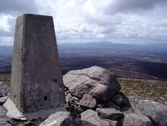
After this, an obvious path begins the steep-ish walk up the Munro. When it forks, keep left, leaving the Mounth Road, an ancient drovers route. The wide path skirts the top of a heather-clad corrie before the final steep pull up to the summit and its trig point. The view is extensive, with the eye particularly drawn east to Lochnagar with the Cairngorms beyond. You really do have to retrace your steps to get back to the start, but the walk through the pinewoods is something to be savoured.
Advertisement
Hide AdAdvertisement
Hide AdRefresh Aboyne, where there is a good choice, is your best bet.
While you are in the area The Glen Tanar estate offers a range of activities including fishing, “Estate Safaris” in 4x4s and wildlife photography courses. There is also an equestrian centre near the parking area, providing treks and tuition.