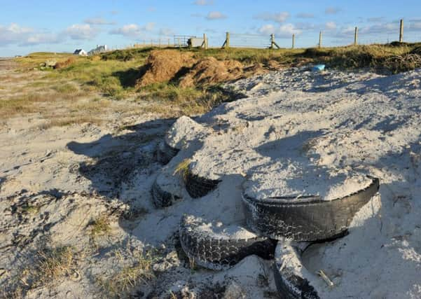
Scotland's habitat is being mapped by scientists


The dune grasslands which can be found on the Hebrides and parts of Orkney, Shetland and the north west Highland coast are being mapped by scientists.
The map is being made for Scottish Natural Heritage’s Habitat Map of Scotland project.
The latest updated map can be found here:
Advertisement
Hide AdAdvertisement
Hide AdMachair provides important habitats for seabirds and grazing for crofters’ livestock and Scotland has a total of about 32,123 acres (13,000 ha) of machair.
Scottish Natural Heritage is coordinating the development of the Habitat Map of Scotland, a stated objective of Scotland’s 2020 Biodiversity Strategy.
For the first time this will bring together all the habitat information available for Scotland and display it in one place and in a common classification - providing a unique tool for the management of our natural heritage
This interactive map will be made freely available through the SEWEB portal and SNH aims to have a complete map of Scotland by 2019.
The map will display information about all land and freshwater habitats in Scotland with special attention being paid to our 51 habitats of European importance.
Together with the UK SeaMap it will create a complete picture of all Scotland’s habitats.
Although led by Scottish Natural Heritage, it is a multi-partner project involving the private sector, government agencies and non-governmental organisations (NGOs).
Advertisement
Hide AdAdvertisement
Hide AdHabitat information collected so far covers almost half of Scotland.
Scottish Natural Heritage has been successfully mapping the distribution of machair, a unique habitat and special feature of Scotland’s coastal environment.