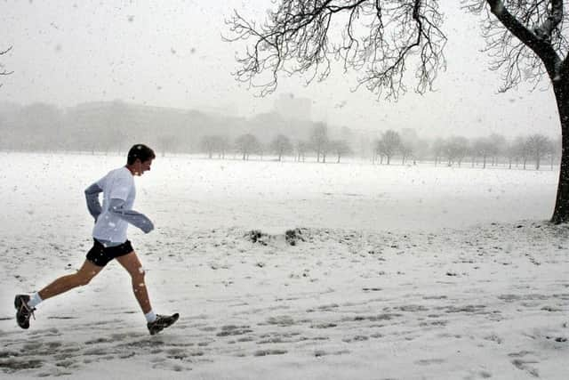
Temperatures across Scotland expected to plummet as weather warnings continue
The Met Office warned a new weather front on Thursday could bring more wintry weather with “very significant snowfall” facing Britain.
A yellow warning for ice across the Highlands and Western Isles has also been issued from 5pm on Wednesday to 11am on Thursday.
Advertisement
Hide AdAdvertisement
Hide AdMeteorologist Alex Burkill said: “I think Scotland will probably be the coldest place but it’s not out of the question we get into negative double figures in parts of England.”

This winter’s current record low of minus 10.8C could be beaten and bring up to 10cm of snow to higher ground.
Thursday will start off “very cold” as the weather system pushes eastwards from the south-west.
“It’s worth bearing in mind there will be some disruption, particularly to travel. If you’re heading out on the roads, be aware your journey will take a lot longer than normal,” Mr Burkill added.
“There’s an ice risk which is going to cause some problems so even if there is no snow it could be icy on the roads and pavement which people need to be aware of.”
Official Met Office figures for snowfall on Tuesday showed the worst-hit areas were Tulloch Bridge, Inverness-shire, with 11cm, and Spadeadam, Cumbria, with 10cm.
Councils have prepared for heavy snowfall, with more than 1.4 million tonnes of salt stockpiled, the Local Government Association said.
Yellow weather warnings for snow and ice cover the majority of the UK on Wednesday - with only a narrow sliver of the country north-east of Carlisle not affected.
Advertisement
Hide AdAdvertisement
Hide AdThe warning in Scotland, Northern Ireland and most of the UK runs until 11am on Wednesday, while the South East, London and East Anglia are covered until 12pm.
Mr Burkill said: “Looking further ahead, it’s what happens on Thursday that has the potential to be more disruptive.
“It does have the potential to bring some very significant snow. We have already got a warning out in force for it.
“It’s currently just a yellow warning, but it’s not out of the question that will be ramped up nearer the time.
“It’s looking like it will be a spell of persistent snow.”
The year’s record low, recorded in Braemar, Aberdeenshire, on January 18 is also likely to be beaten.