Scotland Christmas weather forecast: Yellow warning of ice as snow and 'freezing rain' predicted by Met Office over the festive period


A Met Office yellow weather warning of ice issued on Wednesday will extend until Friday lasting until 10am.
Areas affected by the ice warning include Angus, Perth and Kinross, Stirling, Aberdeen, Aberdeenshire, the Highlands, and Argyll and Bute.
Advertisement
Hide AdAdvertisement
Hide AdA higher than normal chance of injuries from slips and falls on icy surfaces, or accidents on roads and pavements is expected as a result. There is a small chance that bus and train services may be delayed or cancelled due to the weather, with some road closures and longer journey times.
There is also a small chance that roads, pavements and cycle paths could become quite quickly impassable.
A Met Office spokesperson said: “The threat of icy patches, caused by freezing rain in some parts, continues through into this morning in some parts.
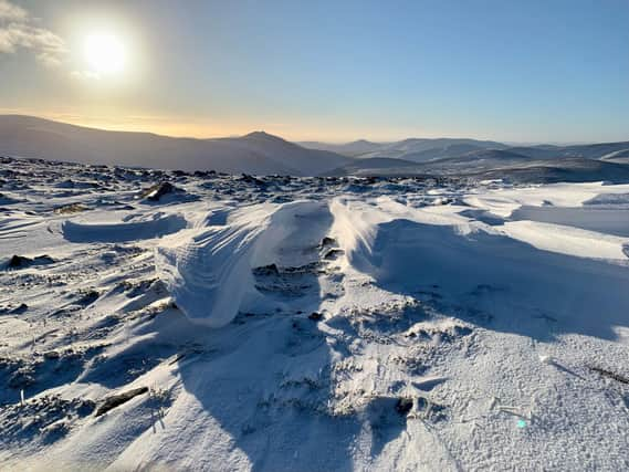
"There is also the possibility of some snow falling at times, mainly over the Highlands above 400-500m.”
Some heavy snow is likely over high ground in northern Scotland on Thursday night, but the amount that affects roads is still uncertain.
Friday will see further showery rain moving north-eastwards across the UK with colder and drier conditions over Scotland.
On Christmas Day, there is a chance of some snow, primarily over high ground. This exact location is still uncertain, but Pennine areas and the Southern Uplands later are the most likely to see snow.
Further north, in the cold air, skies will be clearer with sunshine and lower daytime temperatures.
Advertisement
Hide AdAdvertisement
Hide AdChris Bulmer, Met Office deputy chief meteorologist said: “The Christmas period will be a fairly unsettled spell across the UK this year.
"Many will see wet and cloudy conditions as mild air dominates over the south and west of the UK.
"Where this mild air meets colder air trying to sink south there is a chance of some Christmas snow, this looking most likely over the Pennines. However, exactly where this boundary will be is still uncertain.
"In the far north cold conditions and clearer skies will bring a more wintry feel. For many areas, a brisk easterly wind will bring a notable wind chill.”
A message from the Editor:
Thank you for reading this article. We're more reliant on your support than ever as the shift in consumer habits brought about by coronavirus impacts our advertisers.
If you haven't already, please consider supporting our trusted, fact-checked journalism by taking out a digital subscription.
Comments
Want to join the conversation? Please or to comment on this article.
