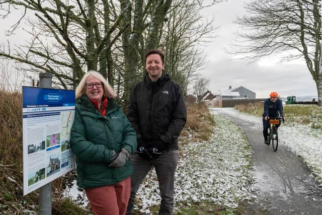
£896,000 of improvements started on the Formartine and Buchan Way
Once completed, the works - which form a major realignment of the existing National Cycle Network (NCN) - will enable even more people to walk, wheel and cycle, along with equestrian use, from Newmachar to Auchnagatt and beyond.
The Formartine and Buchan Way improvements are being supported by funding from the Scottish Government through Sustrans Scotland’s Network Development Fund, delivered in partnership with Aberdeenshire Council.
Advertisement
Hide AdAdvertisement
Hide AdA further £350,000 from Nestrans is also to be invested in a scheme of further improvements along the wider length of the route including the installation of new bridges and access point improvements.

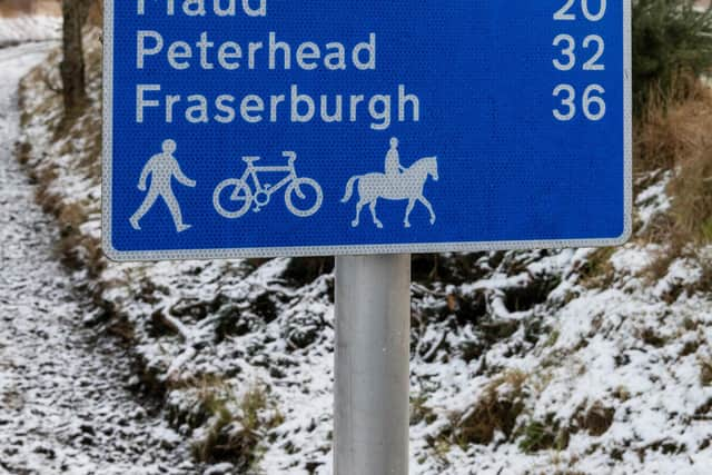
The 40-mile path along a former rail line runs from Dyce to Fraserburgh and features a 13-mile spur from Maud to Peterhead.
A haven for people walking, wheeling and cycling, along with equestrian use, the Formartine and Buchan Way passes close to a host of popular attractions along its route including Aden Country Park, Deer Abbey, Drinnie’s Wood Observatory and several historic stone circles.
The improvements - which are aimed for completion in the spring of 2024 - will create a safer and more accessible active travel route and will include upgrading path surfaces in key areas, widening paths where possible, removing unnecessary barriers which prevent people using wheelchairs, mobility scooters, adapted bikes and buggies from accessing the path; and installation of new accessible de-mountable bollards.
Signage will also be improved along with the replacement of five active travel bridges.
Disruption to route users will be kept to a minimum as much as possible as the works are undertaken.
It will result in the temporary closure of sections of the route at times.
These will be sign posted locally along with diversions where possible, and publicised on the council’s website.
Local communities and groups are being asked to help identify additional access points or enhancements which will further widen the appeal of the route.