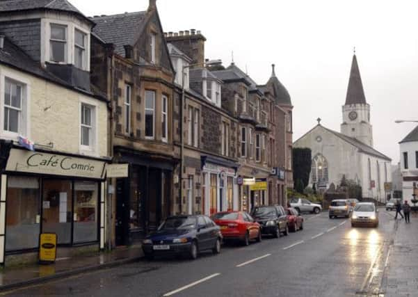
Walk of the week: St Fillans to Comrie


When Derek and I explored the St Fillans to Comrie section we discovered that the track bed can only be followed as far as Drumlochlan Wood. However, the minor road on the south bank of the River Earn then gives a pleasant stroll to Comrie.
Bids to boost trade were not sufficiently successful and the line from Comrie to St Fillans (and Balquhidder) was closed in 1951 – just 50 years of commercial activity. The Caledonian Railway line should not be confused with the Comrie Railroad, a one-mile long private railway which only opens to the public on special occasions.
THE ROUTE
Advertisement
Hide AdAdvertisement
Hide AdFrom St Fillans head east then turn left up Station Road to reach the well-preserved site of the once large St Fillans station, nowadays used as a caravan park. East of the station is a cutting as mapped but nowadays waterlogged; an obstacle we did not attempt. Instead we returned to the A85 and turned up left at the next road leading to Little Port Farm from where, going past farm buildings, we regained the track bed.
The next section, slightly rough in places, passes through a small plantation with silver birches on the left and mostly open views beyond to the 616m pointed peak of Am Bioran. The track bed goes under one bridge, clears the plantation by a large patch of nettles and by a grassy embankment. Pass on the left the brightly coloured Crocodile or Serpent Rock, first painted by youths over 100 years ago. The rock is said to lie on a ley, a supposed prehistoric “energy” line usually between hill tops.
On reaching another cutting, a short tree-studded walk leads to a narrow tunnel under the A85 to meet a forestry access road. Follow the road to a girder bridge across the Earn – which carries a max load warning.
Then head through open country towards Dundurn Forest beneath the craggy slopes of Mor Bheinn. By now on a grassy farm track, reach a gate with what looks like a permanent sign – beware of the bull. There were no animals on our day and at the next gate there was no bull sign. Traverse a lovely wooded section, cross a bow-string arch bridge over the Earn again, then by an impressive rocky cutting and so to a padlocked gate. Use a side gate to reach the minor road just off the A85; once the site of Dalchonzie Siding where the signal box and adjacent accommodation have been converted into a house.
Further on, the track bed is completely overgrown round the edge of Drumlochlan Wood. (The parallel drive only leads to private housing). Even if it had been possible to continue, the next bridge over the Earn has been dismantled. No matter; simply follow the quiet road on the Earn’s south bank.
Pass on the right Dalchonzie Power Station, fed by water diverted by tunnel from Loch Earn. Reach the charming 1792 stone-arched Ross Bridge over the Earn at the west end of Comrie and turn right into the village. Turn left on Station Road, then by path and track bed to the River Lednock, spanned by the railway bridge, now pedestrian only, at the east end of the village. The only surviving trace of Comrie station is a small end section of platform underneath the A85.
Map Ordnance Survey map 51, Loch Tay & Glen Dochart
Distance 6 miles
Height Negligible
Terrain Railway track bed and minor road
Start point Station Road, St Fillans
Time 3 to 4 hours
Nearest villages St Fillans and Comrie
Refreshment spot Village Store Coffee Shop, St Fillans
• Why not use the bus service from Comrie to reach St Fillans? Information from Traveline 0871 200 2233.