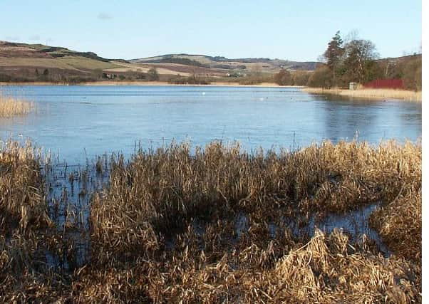
Walk of the week: Lindores Loch


Sandwiched between the Perth/Ladybank railway line and the B937, the tranquil shallow loch is a Site of Special Scientific Interest.
From the Middle Ages up to the 20th century, the loch was an important source of water for powering mills in the Lindores valley. The walk starts and finishes in Collessie, the beautiful conservation hamlet in North East Fife.
Advertisement
Hide AdAdvertisement
Hide AdThere is a car park, map ref 287134, by Collessie Victory Hall, a facility upgraded in 2001.
The route
Walk downhill, turn right by the green signpost (Public Path to Grange of Lindores via Collessie Den, 3 miles) and so by a play area with the Den Burn on the left. Pass on the right Station House. The station was closed in 1955. A narrow grassy path steadily climbs to overlook both railway and burn and there are good views south to the Lomonds.
At a junction just beyond the first house, slant left as signposted – path to Grange of Lindores (to the right leads to Woodmill Mains, part of the return route). The path, in fact a narrow Tarmac road, descends by a high gorse hedge on the right to reach a stone-arched bridge over the railway line and so to the B937. Continue north a short distance (but be aware of traffic), then turn left on the minor road, signposted Goldenloch Fishery, a private loch for fly fishing enthusiasts. The road rises by the Black Burn to reach the Black Loch situated beneath Weddersbie Hill, climbed two years ago from Auchtermuchty.
Ignore the sign to the left, footpath to Red Myre, pass by Golden Loch and continue to Berryhill Farm, overlooked by Golden Hill. After a slight ascent, pass Berryhill House to reach a sign on the right to Abdie Old Kirk. The path follows the line of telegraph poles; a narrow strip between fields and for the first time Lindores Loch comes into view. Pass Abdie House, then the churchyard and the remains of the Old Kirk.
Continue by lane to Abdie and Dunbog Parish Church, built in 1827 to replace the old Kirk, turn right and cross the railway line. Turn right on the A913, lacking a pavement until reaching the hamlet of Lindores.
Turn right on the B937 for some 100 yards (no pavement again), then left as signed on a path. Overlooking road and loch, this gives a wooded stroll to join the track from Inchrye and return to the B937. Just before the pier area at the east end of the loch, turn left up the farm track. Continue to a sign on the right from where a lovely path climbs through a plantation.
Once clear of the trees, and crossing a stile, continue in a straight line as indicated by a Scotways sign. On reaching the edge of the higher plantation, map ref 277159, turn southwards with an easy grassy descent high above Cairneyhall to reach the track, map ref 274153, that comes in from the B937, opposite Woodmill Mains.
Advertisement
Hide AdAdvertisement
Hide AdFollow the mapped path and waymarkers, climbing and undulating to reach the small plantation, map ref 275147. Ignore the mapped path and skirt to the west side of the plantation as waymarked. Continue to the green signpost – Public Path to Collessie. Turn left for a few yards, then right by a swing gate and follow the waymarkers to Braeside and rejoin the starting route.
Map Ordnance Survey map 59, St Andrews, Kirkcaldy & Glenrothes
Distance 7½ miles
Height 200m
Terrain Paths, minor road and grassy slopes
Start point Collessie Victory Hall car park, map ref 287134
Time 3 to 4 hours
Nearest town Auchtermuchty
Refreshment spot Pillars of Hercules organic farm-shop and café, by Falkland