Walk of the week: A Killiecrankie Circuit


The walk straddles two Ordnance Survey maps, 43 and 52 – a difficulty eased by self-printing the area concerned. Even better is to obtain a Pitlochry Walks leaflet from the tourist centre on Atholl Road.
Originally earmarked for later in the year, but on yet another day of high tops gales we opted for this shorter and lower outing.
Advertisement
Hide AdAdvertisement
Hide AdBeing at the back end of the lambing season, Jimbo decided not to take his two Springer spaniels, which, when on the lead all day, give no pleasure to either man or dog.
Leave the A9 just north of Pitlochry and follow the old A9, now the B8079, to the National Trust for Scotland Killiecrankie Visitor Centre, open April to October, £2 car park.
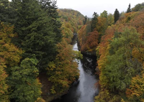
An exhibition area details the history of the Pass, through which General Mackay led his troops in 1689 to face the forces of Graham of Claverhouse, and which is now a Site of Special Scientific Interest.
Maps Ordnance Survey maps 43, Braemar & Blair Atholl and 52, Pitlochry & Crieff
Distance 8 miles
Height 600m
Terrain Well graded tracks and paths
Start point Killiecrankie Visitor Centre car park by B8079, map ref 917627
Time 4 hours
Nearest town Pitlochry
Refreshment spot Ballinluig Motor Grill
THE ROUTE
Start with the green waymarked Bealach Path. Carefully cross the B8079, head up a Tarmac road then by tunnel pass under the A9. Go past Old Faskally House, continue uphill then leave the road before reaching the Scottish Water plant. Turn left as signed to a grassy farm track, then later right to leave the track. Cross a stile and follow a superb track of old cut into the hillside. By then we had good views west to the snow-capped Schiehallion.
With grass gradually giving way to heather, a slight dip leads to a ford over the Allt Eachainn. There is however a small footbridge. A wetter planked area, then an eroded section of the track, leads to a broad renovated path and a signpost, from where a side path gives an optional extra walk to Loch a’Choire and Ben Vrackie.
Advertisement
Hide AdAdvertisement
Hide AdIt took us 1¼ hours to reach the highest part at 570m, the Bealach na Searmoin pass of the sermon, a broad heathery way between 633m Meall na h-Aodainn Moire, mountain of the big face, and 627m Meall Uaine.
A gentle southerly descent through the open heathery moorland leads to the Ben Vrackie path and then to a gate to enter the mixed and partly felled woodland by the Moulin Burn. Continue to the car park, often full at weekends and during busy holiday times, then follow the small lane towards Moulin. Do not go as far as the A924. Turn right (west) on the minor road and follow the now blue Killiecrankie waymarkers.
Pass Balnacraig and the entrance to Pitlochry Golf Course. The Tarmac road then becomes a gravel track, steadily rising through the golf course to reach the edge of the forest. The way then swings north-west by the partially felled forest to meet a forestry track. Pass on the right a path to the summit of Craigower but head straight on with a gentle descent towards the 2½ mile distant Killiecrankie.
Later on, where the track curves left, continue straight on as signed on a smaller track by the edge of the forest, heading north parallel to and steeply above the A9.
Eventually cut down by steps to the left as signed, minding your head as you go under the motorway, which is impressively supported by multiple concrete pillars. Cross the old A9 with care and follow the pavement to return to the Killiecrankie Visitor Centre car park.