Walk of the week: Ben Ledi, Trossachs


Today, Ben Ledi is a popular destination, with extensive views over the southern Highlands and a good path to follow.
Take your time on the way up – this is not a Munro but there is a lot of uphill strain with which to contend.
DISTANCE 7 miles.
HEIGHT CLIMBED 2,490ft.
TIME 4 to 5 hours.
MAP OS Landranger 57.
Advertisement
Hide AdAdvertisement
Hide AdPARK Go north from Callander on the A84 then turn left about a mile and a half beyond Kilmahog at a brown sign for Strathyre Forest Cabins. Once across a metal bridge, turn left again to find parking spaces on the left.
IN SUMMARY Head back to the top of the parking area and go left, up a path which leads into recently cleared forestry. The steep gradient eases before you reach a track, which you cross before continuing up a path on the other side. The path climbs steeply and swings left before dropping down slightly to ford a small burn. You then cross a stile and follow the path left. After climbing steadily the path bears right to reach the broad south ridge of the mountain.
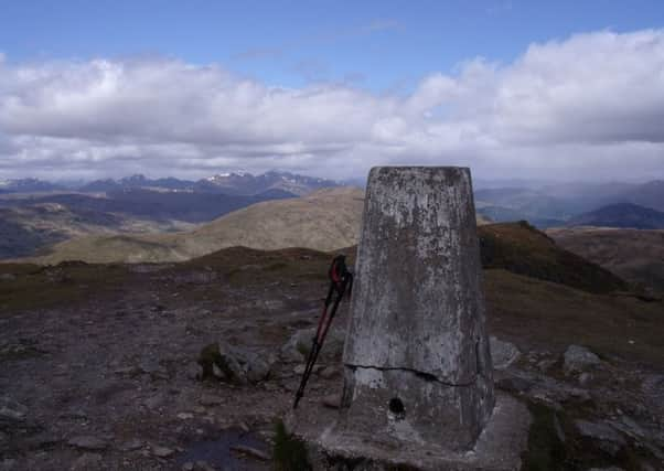
An obvious path leads up the ridge, following old metal fence posts, but be aware of large drops to the right. A few false summits are then passed before the trig point at the top is reached.
Just before the summit a metal cross stands in memory of Sgt Harry Lawrie, a mountain rescuer who died in a helicopter crash on Ben More in 1987. The views are extensive – northwest is Ben More, with Tarmachan and Ben Lawers round to the east. Closer, to the north of northeast, is Stùc a’ Chroin. Across the Trossachs and Loch Katrine is the jumble of peaks which make up the Arrochar Alps to the west.
Continue over the summit and along the ridge on an obvious path. You follow a line of old metal fence posts, continuing next to them as the line goes 90 degrees to the left to drop downhill. The path then bears right to reach the top of Stank Glen.
The start of the path down the glen can be tricky to find, especially in mist. The line of posts drops to a dip, then there is a short uphill section before a relatively steep drop to a bealach. Just before the bealach (and a large boulder about ten feet long) a faint grass path veers right, away from the fence posts. Follow this over boggy ground with the beginnings of a burn to your left. The path then becomes more stony and obvious as it enters the wide glen.
Lower down, cross a little stile next to a wooden gate and follow a well made path to a junction, where you go right. Lower down, cross a track and continue down a path on the other side to reach another track, where you go right. After crossing a burn, turn almost immediately left to follow a path down through trees.
Advertisement
Hide AdAdvertisement
Hide AdThe path temporarily leaves the woods at a track but turns left again to continue down. At the bottom the path reaches a track; go left and when the track has swung right, go left again to reach a single-track road. Go right along this and after just less than a mile you return to the parking area.
REFRESH The Lade Inn at Kilmahog serves real ale and food.
WHILE YOU ARE IN THE AREA Take a trip on Loch Katrine on the steamship Sir Walter Scott (www.lochkatrine.com)