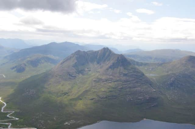
Walk of the week: Beinn Dearg


Its broad north/south plateau of pinkish granite scree and boulders, hence red hill, is over-mapped as being covered in scree; in reality the trig point stands amid a jumble of small boulders, but the surrounding slopes are gentle and grassy.
Beinn Dearg, a shy hill only recognisable from the south when close at hand, is usually climbed as a solo Munro (Carn a’Chlamain is four miles to the east, while the northern pair, Carn an Fhidhleir and An Sgarsoch, are even more distant) and is invariably tackled from the south from where three tracks, all cyclable, make light of the distance involved.
Advertisement
Hide AdAdvertisement
Hide AdThe central track from Old Blair via Glen Banvie is the most popular approach, partly because it leads to Allt Sheicheachan bothy, from where to tackle the hill over two days, or simply as a resting spot. Further west is the less attractive Glen Bruar track, accessed from Calvine. The route from Old Blair via Glen Banvie to Glen Bruar forms the southern end of the Minigaig, an old drove road; indeed, the only road north until the construction of Wade’s military road over Drumochter in the early 1700s.
A shorter and more attractive easterly track, also starting from Old Blair, heads above the west bank of the River Tilt then follows the Allt Slanaidh. According to my admittedly out-of-date map of 2002, the track ends at a small hut, map ref 868717, but it does in fact continue north-eastwards to the Allt Sheicheachan and the start of the stalkers’ path.
Five years ago, close to the shortest day, Jimbo and I used this route just before the first heavy snow of winter would have made the track uncyclable. The solo return this year was also close to the shortest day.
Map Ordnance Survey map 43, Braemar & Blair Atholl
Distance 17 miles, of which 12 can be cycled
Height 900m
Terrain Track, stalkers‘ path, then Munro path
Start point Car park near Old Bridge of Tilt, map ref 874663
Time 6 hours, assuming cycling
Nearest village Blair Atholl
Refreshment spot Atholl Arms Hotel, Blair Atholl
THE ROUTE
From Blair Atholl, take the minor road on the east side of the River Tilt, turn left at Old Bridge of Tilt and the car park is a few hundred yards further on, map ref 874663. From there, cycle uphill on the Tarmac estate road to the minor crossroads, map ref 867666. Turn right, north-east, uphill again on Tarmac road to reach a more level wide track, high above the west bank of the Tilt. At map ref 877686, leave the main track (it leads downhill to Gilbert’s Bridge) and follow the branch track that goes north by a wooded area, at first overlooking the Jubilee Rifle Range (close all gates to keep deer out of the newly planted forestry). By now following the west bank of the Allt Slanaidh, the track heads north-westwards to reach the hut, then continues round the secluded west shoulder of Beinn a’Chait. Cycle as far as the high ground above the dip to the Allt Sheicheachan, map ref 850749.
Walk down to the dip and the start of the stalkers’ path that slants and zigzags up the hill’s southern heathery slopes to reach flatter ground over Meall Dubh nan Dearcag. Nowadays the worn trodden way heads NNW over oft wet ground, then gently climbs over drier terrain to reach a minor bump, map ref 849770. The terrain is now of typical Cairngorm granite grit, boulders and short grass. Ahead lies a mound of granite leading to the lovely stone built trig point.
Return to the Allt Sheicheachan, climb back to the bike and retrace the cycle route, this time mostly free-wheeling. However, for nostalgic reasons I walked back to the stream, cycled to the bothy of many a happy memory, then returned via Glen Banvie.