Walk of the week: Aberfeldy to Kenmore


Jimbo’s brother, John, a resident of Aberfeldy, had mentioned the new-for-us 8-mile Aberfeldy to Kenmore Riverside Walk; a well-signposted, though unmapped route which follows the northern banks of the River Tay.
The quick change of plan, and John’s absence on holiday, gave little time to check on the infrequent public bus service for the return from Kenmore.
Advertisement
Hide AdAdvertisement
Hide AdThere are school buses serving Breadalbane Academy in Aberfeldy but the school was on holiday on our end of October day visit. (The Ring of Breadalbane Explorer bus service, runs every Tuesday, Thursday, Saturday and Sunday but only from 29 June to 20 October). It may be best to contact Traveline, 0871 200 2233.
The Route
Start from Tayside Drive in Aberfeldy, the town side of the General Wade Bridge. First opened to traffic in 1733 at a cost of £3,596 (over £1 million in today’s money), for many years it was the only bridge spanning the Tay. It is the only one of Wade’s 35 major bridges to remain as a public highway, albeit single track.
Cross the bridge and immediately turn left as signposted, Riverside Path, Kenmore 8 miles, and follow the riverbank. One mile later a path forks to Castle Menzies, the spectacular 16th century renaissance castle restored by the Menzies Clan Society. Straight on in any case is signposted, Kenmore 7 miles. Reach a track, map ref 805481 which continues west by the riverside then, as mapped, comes to an end. However, it does continue by electricity transmission lines which cross the river at this point.
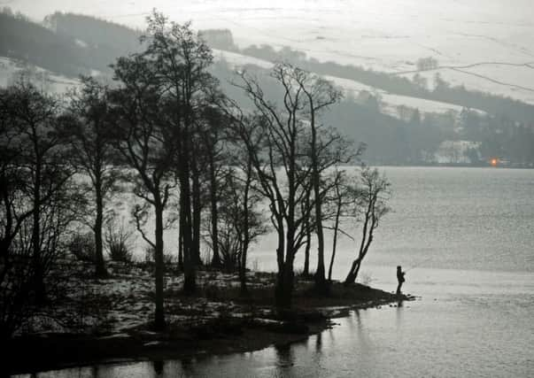
There were many anglers by the water on our day. The Upper Farleyer beat, at the junction of the Tay and Lyon, is reckoned to be one of the best beats in the upper Tay though, with depleted stocks for the time being, the salmon are thrown back. Continue past fields on the right, then by riverside path through a lovely wooded strip and so to the B846 at Tirinie. Turn left to reach the unattractive bridge over the Lyon and signposted, Kenmore 3 miles. On the left is Comrie Castle, a small towerhouse, originally the seat of the Menzies family.
Continue south on the minor road, passing Peeler Gate parking area for Drummond Hill and on the left Kenmore Quarry. Immediately turn left and follow the path that briefly goes parallel to the road, then turn left as signposted on the broad track, Kenmore 2 miles.
Pass a Taymouth Angling Club sign affixed to a tree and when the track forks stay with the higher one, a lovely way through the old estate. Still on high ground above the river, pass through a lovely beech tree avenue.
It is not possible to cross the Tay to Taymouth Castle. The Chinese Bridge, actually of cast iron, has been closed since 2011 for maintenance work. However, continue on the north bank, pass a golf course on the right, and then arrive at a 30ft high memorial, erected as a tribute to Mary, Countess Breadalbane. Known as Maxwell’s Temple, its spiral staircase leads to a small arched gallery.
Advertisement
Hide AdAdvertisement
Hide AdDescend past holiday lodges and so to the A827 and Kenmore Bridge; not built by Wade, though there are obvious similarities, but by the Earl of Breadalbane.
Taymouth Castle, built by the 2nd Marquess of Breadalbane, was completed in time for the visit of Queen Victoria in 1842. It took 656 horses to convey the entourage to and from Taymouth. We left in more modest style – by taxi. The next bus would have meant a three-hour wait.
Happy Christmas!