Walk of the week: The Dava Way


The line opened in 1863 but was closed in 1968. Rhona and I covered the section from Grantown to the car park, map ref 023325, on the A939 close by Huntly’s Cave crag.
A few weeks ago we continued as far as the architectural highlight of the whole Way, the Divie Viaduct. Although also intended for cyclists, some parts offer little advantage over walking. This section, however, has more railway relics; Scots pines plus remains of fences used as snow barriers; crude huts, accommodation for linesmen and shepherds; and Dava Station on the boundary between Highland and Moray.
Map Ordnance Survey map 27, Nairn and Forres
Distance 11 miles
Height Negligible
Terrain Railway track bed and path
Start point A939 car park, map ref 023325
Time 5 hours
Nearest town Grantown-on-Spey
Advertisement
Hide AdAdvertisement
Hide AdRefreshment spot Macleans Bakery and Café, The Square, Grantown-on-Spey
THE ROUTE
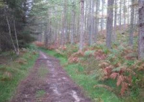
From the car park, the roadside path descends to the track bed, at a height of 310m, and a signpost – Forres 20 miles. After the initial deep cutting hewn out of the rock, an oft wet place, an almost imperceptible gradient leads through mixed woodland above the gorge of the Allt an Fhithich and so to the open moorland. Cross the track from Upper Derraid and note the painted carving of a dragoon recalling the Battle of Cromdale.
Given the height of the railway, the rounded almost 500m high hills on either side appear small – and so to the 1,052ft/320m summit, circa map ref 014346, indicated on the left by a sign beside an old metal post stamped Rowell Aberdeen No 1. Actually the summit is a bit of a non-event for the line scarcely changes in height on the way to Dava, albeit there is a slight rise at Heatherbell cutting within a plantation. Winter on Dava Moor constantly gave problems for the rail operators; trains being buried and abandoned in snow drifts hereabouts.
A grassy embankment leads to the hamlet of Dava, which at one time had a busy coaching inn. A blue sign, with white lettering, DAVA, bars the entrance to the former sizeable station. The platform was very long; a passing spot for trains rather than suggesting a busy passenger station. The station buildings, including the station house, have been converted to private housing so follow the signposted detour to the left; by track then rough uphill path to regain the line. Cyclists are asked to use the A939 for some 250 yards.
With Forres 15 miles distant, the A939 and railway, separated by the Knock of Braemoray, part company on the traverse by the vast, bleak, flat Moidach More, the most desolate part of the walk; desolation that may be briefly spoiled by distant wind turbines. Pass the former railway workers’ hut, now known as the Halfway Hut, refurbished as a cosy shelter and where we met our sole passerby, then on to Bogeney (occupied until shortly after the Second World War) and by the impressive Bogeney Bridge over the Burn of Newton. Ahead lies more fertile terrain and the welcome sight of Bantrach Wood.
Now for the most dramatic part of this walk. The increasing height of the embankment gives a level track bed crossing over the River Divie which eventually flows to the Findhorn. The Divie Viaduct, a 477ft long seven-span masonry bridge 106ft above the river, was built in 1861-63 at a cost of £10,231. The viaduct’s height of 200m above sea-level indicates the gentle descent from Dava Moor.
Once over, the embankment changes to an oft wet cutting, at the end of which, by houses on the left, a short track leads to the road. It is then an easy walk to a car park, map ref 019469, and hopefully a waiting car.