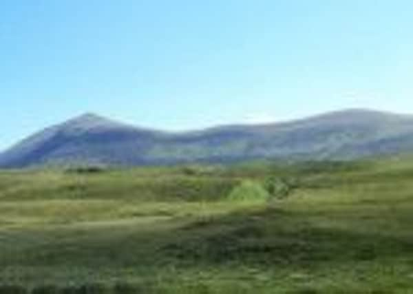
Walk of the week: Ben Klibreck


Matching similar recordings at Braemar in 1895 and 1982, the lowest temperature, -27.2C, was recorded there on 30 December, 1995, yet on 20 March, 2009 it was the warmest place in the UK, at 18.5C.
Nevertheless, the area is better known to anglers and hillwalkers; in the latter case that includes Ben Hope and Ben Klibreck, the two most northerly Munros. Lacking the former’s spectacular shape and setting, there is an initial impression of something forlorn about Klibreck.
Advertisement
Hide AdAdvertisement
Hide AdSet amid a tragic period of Scottish history, Klibreck overlooks a watery and desolate area where the feeling of isolation and brooding history persists. Its northern slopes overlook Strathnaver, the worst affected area of the Sutherland Clearances. In travelling through Strath Vagastie and the A836 on descent to Altnaharra, its western escarpment is the obvious feature (its name means hill of the cliff slope, from the Old Norse klif brekka) yet it is a big mountain, with a curving plateau stretching some four miles, and seldom dropping below 700m. Meall nan Con, hill of the dogs, is the name given to the summit cone.
It is not unusual for Munro baggers to tackle Klibreck and Hope in the same day, yet Klibreck is worthy of more than just a casual visit. Much better to spend the whole day exploring the extensive plateau, including the seldom visited prominent monument, south-east of Meall Ailein, which marks the site of a RAF plane crash in 1955.
There is a choice of routes starting from the A836. From the Crask Inn, a moorland path heads east to the broad southern ridge from where the 807m Creag an Lochain is reached; or continue through the craggy Bealach Easach, then climb north to Meall an Eoin or Meall Ailein. Lower Strath Vagastie also gives a choice of starting points; all of which promise a boggy and rough traverse to the escarpment. The Vagastie River can normally be splashed over, but there is a footbridge ½ mile north of Vagastie.
Map Ordnance Survey map 16, Lairg and Loch Shin
Distance 10 miles
Height 900m
Terrain Road, track and grassy way to hillside
Start point Road to Klibreck farm, just south of Altnaharra, map ref 573346
Time 6 hours
Nearest towns Lairg and Tongue
Refreshment spot Altnaharra Hotel
The route
On a day of blue skies and gentle breeze and the sound of my first cuckoo of the year, Rhona and I opted for a northerly approach. From the A836, just south of Altnaharra, follow the Tarmac road by Loch Naver to Klibreck farm. Turn right at the farm buildings, pass a white cottage and follow a track which curves left and crosses a stream. The track becomes a grassy way traversing the pasture area, then by a couple of gates to reach the heathery moorland, then the Klibreck Burn; all the while heading for the dip on the ridge at map ref 605313.
Cross the burn and follow a side stream, then slant left to join the burn that flows from the plateau. Follow that burn over steepening grassy ground to reach the plateau west of Meall Ailein, by which time the hard work has been done. Head south-west over easy undulating ground on a vague path that gradually becomes more defined and so to the 962m/3,156ft summit.
The old trig point has been split in two, presumably from a lightning strike, but most interestingly, emphasising the surveying importance of the hill, a new one has been built. Ruins of the camp site used by the original surveyors can still be seen a short distance to the north-east on the grassy slopes. There are glorious views east over the flat country and north to Ben Hope and Ben Loyal.
Once back at Altnaharra there was time before the drive south to have apricot and ginger flapjacks, highly recommended, and coffee, at the Altnaharra Hotel.