Walk of the week: Water of Leith and Union Canal, Edinburgh


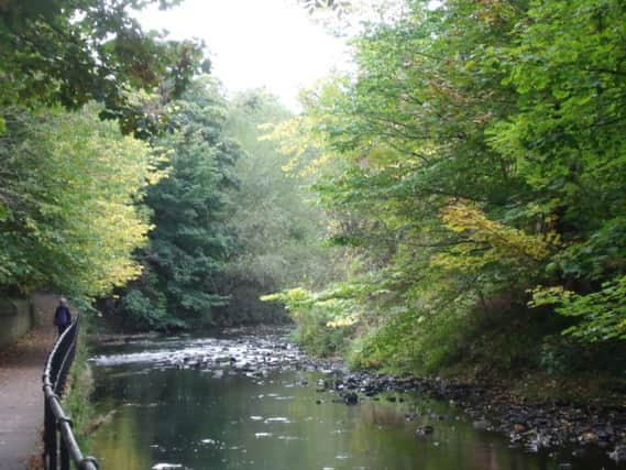
They are good places to relax and enjoy a little nature amid the urban sprawl. This walk links the Water of Leith with the Union Canal, and although the city is never far away, the autumnal trees and greenery make you feel as if you have got away from it all.
DISTANCE 6∫ miles.
HEIGHT CLIMBED Negligible (except for one set of steep steps).
TIME 2 to 2∫ hours.
MAP OS Landranger 66.
Advertisement
Hide AdAdvertisement
Hide AdPARK There is plenty of parking in Edinburgh. This walk starts at Haymarket railway station, so if coming from out of town it is best to arrive by train.
IN SUMMARY Go left out of Haymarket station, along Haymarket Terrace. After only about 100 yards go left after a tram stop, down Haymarket Yards. At the bottom of the road go right to walk next to the tram tracks. The footpath leaves the tracks for a short while to go in front of some flats but soon rejoins the line – on this first section you are following blue pedestrian/cycle signs for Queensferry. Go right to leave the tram line at a blue sign and follow the route of a former railway over a bridge. About 300 yards after the bridge go left, following a brown sign for the Water of Leith Walkway down a long flight of steps.
At the bottom of the steps go left to follow the river upstream. The path leaves the river to reach a small, residential road, where you go right to walk down to the busy A8. Cross this and go down Roseburn Gardens on the other side, turning right at the bottom. You then go right to follow the edge of Roseburn Park (with Murrayfield rugby stadium on the other side) until you reach Murrayfield Ice Rink.
Follow a path to the right of the car park entrance – don’t cross a bridge on the right. Then ignore another bridge over the river but do take the next one, turning left on the other side to continue upstream. Stay by the river to walk behind the bowling greens at Balgreen, then cross a road via a pedestrian crossing, going left and then almost immediately right on the other side to follow a sign for Slateford.
Go left to pass in front of the entrance to Saughton Winter Gardens, then follow a grass path round to the right and over a surfaced path before reaching a car park. Go left out of the car park and turn right before a bridge, then take a path on the left, following another brown sign for the Water of Leith Walkway. Cross a busy road (the A71) and continue on a path by the river on the other side.
The path crosses the river then continues to pass under a railway viaduct. Just after this, and before an aqueduct, go left, up a steep flight of steps. (You can continue ahead before ascending the steps to reach the Water of Leith visitor centre.)
Once at the top of the steps, go left to walk along the Union Canal towpath. The end of the canal, at Fountainbridge, is just over two miles further on – walk past bars and restaurants and cross a main road, following Gardner’s Crescent on the other side. At the end of this road, go left, down Morrison Street, back to Haymarket railway station.
REFRESH There is a wide choice in Edinburgh.
WHILE YOU ARE IN THE AREA It is worth a stop at the Water of Leith visitor centre in Slateford. www.waterofleith.org.uk n