Storm Desmond set to hit Scotland this weekend


The Met Office has issued an amber alert for rain and a yellow “be aware” for winds, with gusts of up to 80 miles per hour expected to hit exposed areas in the west of Scotland.
Last night four flood warnings, meaning flooding is possible and immediate action is required, were issued for Tayside by the Scottish Environment Protection Agency (SEPA). The agency also had 11 flood alerts in place across much of Scotland including Edinburgh and the Lothians, Scottish Borders, Aberdeenshire, central, Dundee and Angus, and Argyll and Bute.
Advertisement
Hide AdAdvertisement
Hide AdMarc Becker, SEPA’s hydrology duty manager, said: “Rainfall will be heaviest over central and southern areas of Scotland during Friday evening and throughout Saturday which will cause river levels to rise.


“River levels in the Tay, Clyde and Tweed catchments are already high and are expected to rise considerably in the next 24 hours.”
Snow is also expected on higher grounds across Scotland.
Travellers are being advised to check timetables and road conditions before setting out as severe weather restrictions are likely to be in place, especially following the closure of the Forth Road Bridge.
Last night the Tay Road Bridge was closed to double-decker, high-sided vehicles, cyclists and pedestrians.
The chief forecaster for the Met Office said the public should be prepared for the likelihood of flooding, with rainfall totals of between 60-100mm (2-4 ins) across many parts of the country.
A spokesman for Transport Scotland said: “People wishing to travel should consider the conditions, listen to radio reports, visit the Traffic Scotland website or twitter feed and take note of the latest police advice before starting their journeys. There may be some difficult driving conditions and motorists should take extra care.
“People in the Lothian and Fife area should take special care when planning their journeys due to extra pressures being placed on the network by the closure of the Forth Road Bridge, and consider whether journeys are necessary.”
Advertisement
Hide AdAdvertisement
Hide AdCal Mac reported disruption to 25 out of 26 services yesterday including the Ardrossan to Brodick, Ullapool to Stornoway and the Barra to Eriskay crossings.
Glasgow Life, organisers of Glasgow Loves Christmas, who closed events including ice-skating and fair ground rides, are monitoring the situation but said events may not re-open over the weekend.
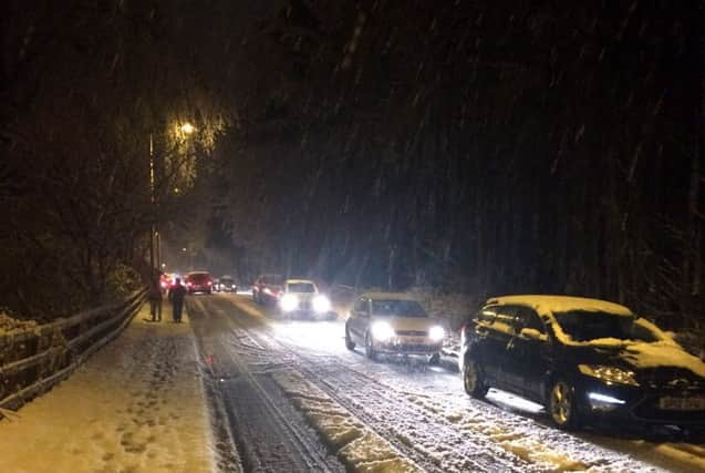
Meanwhile unexpected heavy snow showers across Midlothian led to all major routes through the Borders, the A1, A7 and the A68, being badly hit.
Outlook
Tomorrow: high winds with gusts of up to 80mph in the west and heavy rain across most of Scotland
Sunday: strong winds lessen in the early hours of the morning, heavy rain continues, snowfall on higher ground
Monday: slight wind, rain and some snow showers over high ground and the Borders
Tuesday: sharp bursts of heavy rain, wind and snow flurries for most of the day
Wednesday: short gusts of high wind, heavy overnight rain and snow showers