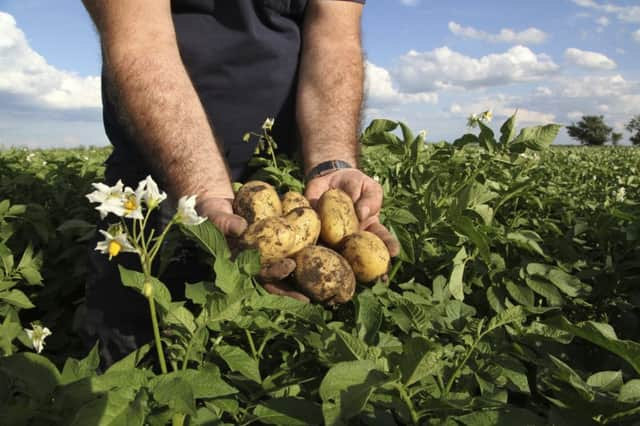
How drones are helping Scots scientists to grow better potatoes


But crop scientists at the University of Aberdeen and the James Hutton Institute believe the aircraft can take potato breeding into the future.
Resembling scaled-down stealth bombers, these remotely controlled drones are mounted with a camera and take hundreds of pictures as they fly repeated missions over the tattie fields. Surveyors then collate all the images and create a three-dimensional model of the crop.
Advertisement
Hide AdAdvertisement
Hide AdThis allows the potato experts to accurately assess the health and development of the plants they are trialling.
The drones fly at around 50 miles per hour, capturing up to 1,000 images from 400 feet above the field.
James Hutton Institute’s Dr Ankush Prashar, and Dr Hamlyn Jones of the University of Dundee, are working with specialist firm Survey Solutions Scotland to explore the feasibility of using the latest three-dimensional imaging to analyse traits such as yield.
Dr Prashar said the use of drones has the potential to “substantially accelerate” work to develop new varieties.
Potato breeding is not an easy task due to the complexity of the crop’s genetic system, but significant progress has been made in the past century in developing resistance to pests and diseases and ensuring consistency of quality.
Recent developments in genomics have shown great prospects for significantly improving crops.
Dr Prashar said: “With the onset of climate change and increasing unpredictability across the UK, improved adaptation and yield responses of potato crops require accurate measurement of crop development under different climate scenarios.
“This evaluation relies on a combination of visual selection as well as extensive and detailed genetic assessment, performed over several tuber generations.”
Advertisement
Hide AdAdvertisement
Hide AdUntil now, evaluating the success of trials was based on studying the potatoes after they were harvested. But the new imaging techniques have made it possible for the researchers to study the height, density and health of the foliage, and the crop’s response to shortages of water and nutrients while the crop is growing.
Dr Prashar said: “There is no systematic evaluation of traits such as canopy development and architecture, leaf area, responses to water and nutrient stress, and so it is impossible to estimate the effects of these variables on overall crop performance. It is possible that these traits may be highly correlated with yield or other important traits normally assessed after harvest.”
Jock Soutar, from Survey Solutions Scotland, said: “We geo-reference the area to the Ordnance Survey system to show exactly where the images are captured, which ensures we can go back and do repeated surveys of the same area. That means we can overlay subsequent images on top of the originals for comparison and accurately chart changes.
“We put the drone up and on a typical site will take 600 to 1,000 photographs. Then we merge them all together and create a composite. From this we can build a very precise three-dimensional model.
“This allows the team to measure the crop and analyse its volume and growth characteristics.”
The researchers believe using the drones can increase the efficiency of potato breeding and crop monitoring programmes. Dr Prashar added: “When combined with optimised breeding schemes, this technology has the potential to substantially accelerate the development of new varieties for resilient and sustainable agriculture.