Edinburgh weather: Freezing conditions forecast to continue into weekend
Temperatures were predicted to fall as low as -14C in the North East, beating -10.8C at Braemar in Aberdeenshire on 18 January.
Edinburgh was expected to dip to -5C and Glasgow to -4C.
A yellow – “be aware” – ice warning was due to remain in force for western Scotland until 11am.
Advertisement
Hide AdAdvertisement
Hide Ad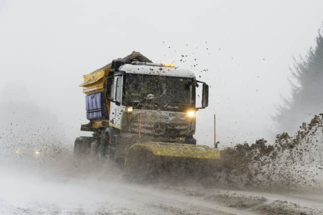

It will be followed by a snow and ice alert for eastern Scotland from 6pm until noon on Friday.
The Met Office forecast further snow showers last night across the western edge of Scotland, Hebrides, northern Highlands and northern isles would turn to ice. Ice was also likely across the south west and wintry showers would become more frequent this morning.
A yellow warning for the east covered Edinburgh and parts of West Lothian, Midlothian and East Lothian.
It said: “Showers will develop during Thursday night and continue into Friday morning falling as a mixture of rain, sleet and snow.
“Snow accumulations of 1-3cm are possible in places.”
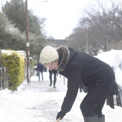
Commuters were warned of longer journeys while the Met Office warned of some injuries from slips and falls on icy surfaces.
Network Rail has prepared for any disruptive snowfalls by moving seven snowploughs and snowblowers into position across the Scottish network “as a precaution”.
However, it said the main concern was freezing temperatures causing points between tracks and signals to stop working.
Forecast temperatures for tonight and tomorrow have been revised downwards in some areas, with -4C expected in Glasgow tonight and -3C on Friday night. Edinburgh is still on for -2C for both nights.
Advertisement
Hide AdAdvertisement
Hide AdHowever, at Loch Glascarnoch, north west of Inverness, the temperature did not rise above -1C yesterday – the coldest place in the UK. The deepest snowfall recorded yesterday was 11cm at Tulloch Bridge, east of Fort William.
The Met Office said: “It will stay cold into the weekend with wintry showers, particularly in the north and east of the UK. Further warnings of snow and ice may be required. During Sunday and Monday, bands of rain and snow look likely to arrive from the west.
“However, confidence in timings and if any areas will see impacts is low at this stage.”
The agency said that the heaviest snow was expected to be south of the Border, where Manchester and Liverpool airports were at a standstill yesterday morning.
Met Office meteorologist Alex Burkill said: “It’s what happens on Thursday that has the potential to be more disruptive. It has the potential to bring some very significant snow.”