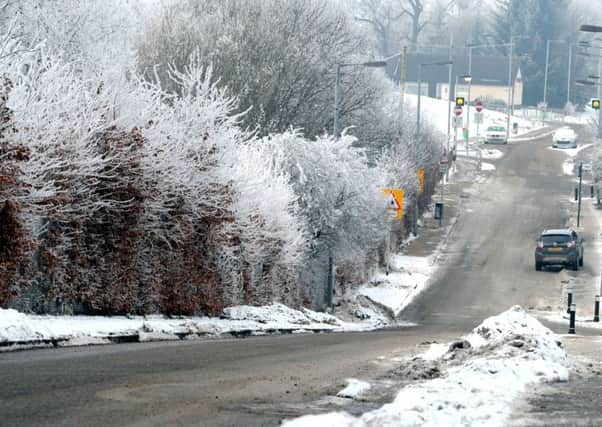
Scotland's weather: Transport disruption threat as snow warning issued


The Met Office said it will be followed by temperatures dipping by Friday, with the wind chill making it feel bitterly cold.
A yellow - “be aware” - alert has been issued by the agency for a large swathe of Scotland stretching from Moray south west to Dumfries and Galloway.
Advertisement
Hide AdAdvertisement
Hide AdThe agency said 2-5cm of snow would fall until 9pm, most of it over 200m, which includes sections of the A9, A82 and A86 in the Highlands.
Traffic cameras showed slushy road surfaces on higher roads, including at the 400m Slochd summit on the A9.
A dual carriageway section of the A9 north of Pitlochry was down to one lane this morning after lorries struggled in the snow.
The alert came into force this morning without the usual prior warning after snow started falling to lower levels than previously expected.
On the railways, flooding twice closed the Girvan-Stranraer line.
Water levels were as high as the rails at the north end of the Pinmore tunnel, near Girvan, at 8am then again at noon, the ScotRail Alliance with Network Rail said.
Commuters east of Glasgow suffered the additional headache of overrunning roadworks causing 30-minute delays on the A725 near the A8 junction at Shawhead in North Lanarkshire.
A Met Office spokeswoman said: “A band of rain and snow will affect much of Scotland as it drifts eastwards through the rest of Tuesday.
Advertisement
Hide AdAdvertisement
Hide Ad“Snow levels will be generally above 200m, bringing 2-5cm accumulations of fresh snow.
“Some wet snow will penetrate to the lowest levels in heavier outbreaks, bringing temporary slushy deposits, particularly during the late morning and early afternoon around Glasgow.
“Some disruption to transport is expected as well as difficult driving conditions.
“Some snow may persist over high ground of the Grampians overnight but this is not expected to be disruptive at this stage.
“Icy stretches are also possible as the band clears eastwards this evening.”
Deputy Chief Meteorologist Dan Harris warned of even chillier conditions to follow.
He said: “The influence of high pressure over Scandinavia is likely to stay with us, providing a cold easterly wind.
“With high pressure dominating, it is likely to be dry for many, with increasing amounts of brightness or sunshine away from the extreme west and south.
Advertisement
Hide AdAdvertisement
Hide Ad“However, snow showers are expected to increasingly affect eastern areas of England and Scotland towards the latter half of the week, which may also spread to some central and western areas by the weekend, although by this time a messy mixture of rain, sleet and snow is more likely.
“Current indications are that once the east to south-easterly winds set in, they will most probably last well into next week, although a gradual upturn in temperatures looks likely.”