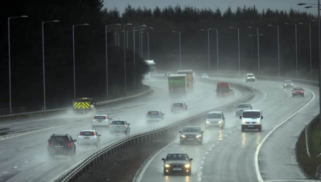
Scotland’s weather: 110mph winds forecast


The Forth Road Bridge is expected to close to all traffic tomorrow morning, while nine railway lines across the north and west are likely to stay shut until late afternoon.
Ministers warned of ferry disruption, with CalMac’s west coast routes put on amber alert.
Advertisement
Hide AdAdvertisement
Hide AdThe Met Office said there could also be power cuts and structural damage.
It said the Atlantic storm would be followed by snow and ice across the country on Saturday and Sunday.
The Central Belt and Highland and Islands are expected to be worst hit by tomorrow’s blast, where an amber - “be prepared” -severe weather warning is in force until 10am.
CONNECT WITH THE SCOTSMAN
• Subscribe to our daily newsletter (requires registration) and get the latest news, sport and business headlines delivered to your inbox every morning
Winds are forecast to reach 80mph across the Central Belt and more than 100mph in the north.
The rest of the country is covered by a yellow - “be aware” - alert - for winds up to 70mph.
The Forth Road Bridge, which carries nearly 70,000 vehicles a day between Edinburgh and Fife, said it had been told to expect gusts up to 87mph - which would force it to shut.
Chief engineer and bridgemaster Barry Colford said: “Even allowing for a margin of error, it looks certain that the bridge will be closed to all vehicles except cars for most of the morning.”
Advertisement
Hide AdAdvertisement
Hide AdNetwork Rail said forecast 110mph gusts had led it to close lines between Inverness and Kyle of Lochalsh, Wick, Thurso and Aberdeen, and Glasgow to Oban and Mallaig.
Services will also be halted on the coastal sections of other lines, between Kilwinning, Ardrossan and Largs, and Dumbarton Central and Helensburgh Central.
David Dickson, Network Rail’s route managing director for Scotland, said: “We will be withdrawing a limited number of services until the worst of the storm has passed to allow our engineers to thoroughly inspect the network for any damage.”
The rail firm also urged homeowners to secure garden furniture, trampolines and sheds, which have been blown onto lines during previous storms.
In the Western Isles and Orkney, schools will be closed tomorrow (Friday 9 January 2014), and there is the possibility of other schools across the Highlands and Islands to also be closed. For further information the public are advised to contact the appropriate Local Authority. Details of their websites can be seen at the end of this release.
Scottish Hydro Electric Power Distribution, which supplies 750,000 customers, has mobilised hundreds of additional engineers and call centre staff to deal with any potential damage caused by the storm.
The Met Office said the storm would be followed by blizzards and plunging temperatures from 6am on Saturday to noon on Sunday.
It said: “Heavy showers are likely, falling as snow at low levels across much of Scotland.
Advertisement
Hide AdAdvertisement
Hide Ad“There could be localised small snow accumulations away from immediate coasts at low levels in the north, whilst over high ground 5-15cm (2-6in) may occur in places.
“Temperatures will fall significantly during Saturday, this also posing the risk of ice where showers occur.”
It said further bad weather would ensue, with winds expected to strengthen later on Sunday and into Monday morning.
The storm is part of an extra-fast jet stream moving across the Atlantic, triggered by plunging temperatures in the United States which has hit warmer air, stirring up potent winds.
SCOTSMAN TABLET AND IPHONE APPS