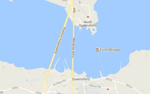
Queensferry Crossing added to Google Maps


As recently as last night, Google Maps showed the existing Forth Road Bridge and the iconic 19th Century Forth Bridge - but not the new £1.35bn crossing.
The Internet giant came under some criticism for not showing the new bridge.
Advertisement
Hide AdAdvertisement
Hide AdThe omission follows a large section of Glasgow’s M8 motorway extension being missed out from Google Maps following its opening in April.
Motorists looking at Google Maps were left with the impression that they were driving through a field and not the new £500 million route.
But a spokesman insisted yesterday that adding the Queensferry Crossing to its application prior to traffic being allowed to travel over the bridge would be ‘wrong’ and ‘unhelpful’ as people could try to use it before its opening.
The Queensferry Crossing opened to traffic this morning after six years of construction.