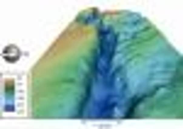
The Devil’s Hole, Wee Bankie and the odd pockmark – secrets of seabed off Scotland


However, for the first time the features have been highlighted in a new report published by Scottish Natural Heritage (SNH).
In all, 34 key geological areas of national and international interest on the Scottish seabed have been prioritised as part of a project to identify marine habitats of high conservation value.
Advertisement
Hide AdAdvertisement
Hide AdThe seabed features include deep trenches extending for tens of miles; vast underwater ridges and mounds formed by the Ice Age glaciers; giant depressions on the sea floor; and submerged caves and extinct volcanoes.
Together with detailed information on marine wildlife and habitats, the report will contribute to a national overview of the marine environment.
The information will be used to advise Scottish Government and others on marine conservation and development, including international commitments to create a network of marine protected areas.
SNH’s John Gordon said: “Scotland has responsibility for 13 per cent of Europe’s seas. They are a huge environmental, economic and recreational resource, but most of us have little idea of the remarkable world that lies on the sea floor beneath the waves.
“The landforms there are every bit as impressive as anything we can see on land, and reflect the geological, glacial and marine processes that have shaped our seascapes and influenced the wildlife and habitats in our seas today.” Mr Gordon said many of the areas featured in the report also have the potential to deliver critical insights into important earth processes, including climate change and future sea level rise.
He added: “We’re increasingly aware of the significance of our underwater landscapes, not just for their intrinsic scientific value, but also for their importance in supporting marine life, providing a diversity of wildlife habitats and including for fisheries.
“Many of our key fishing grounds are associated with underwater landforms, such as the Wee Bankie, Rockall and the Southern Trench.
“As well as identifying the key geodiversity features in Scottish waters, this report will help us to highlight what is so special about Scotland’s marine environment and also to look after it, and the wildlife and industries it supports.”
Advertisement
Hide AdAdvertisement
Hide AdOne of the best known features are the Darwin Mounds off the west coast. These are coral-topped mounds comprised mostly of sand and interpreted as “sand volcanoes”.
The individual mounds are up to 75 metres wide and five metres high and are unique in UK, but were under threat from commercial trawling until an EC ban came into force in 2003.
The Summer Isles to Sula Sgeir Fan in the west of Scotland is described as a “classic glacial landscape” formed by repeated glaciation over at least the past 500,000 years.
The Devil’s Hole and Fladen Deeps are a series of large-scale depressions incised into the seabed off eastern Scotland. Up to 40km long, the “tunnel valleys” are likely to have formed by pressurised melt-water flowing beneath an ice sheet.
The Southern Trench along the south coast of the Moray Firth is one of the largest examples of seabed incisions which are a feature of the seabed off east and north-east Scotland.