Scotland to be struck by ice, wind and rain as Met office issues three yellow weather warnings
A third yellow weather warning for the country has been issued by the Met Office today, as icy conditions are expected to develop.
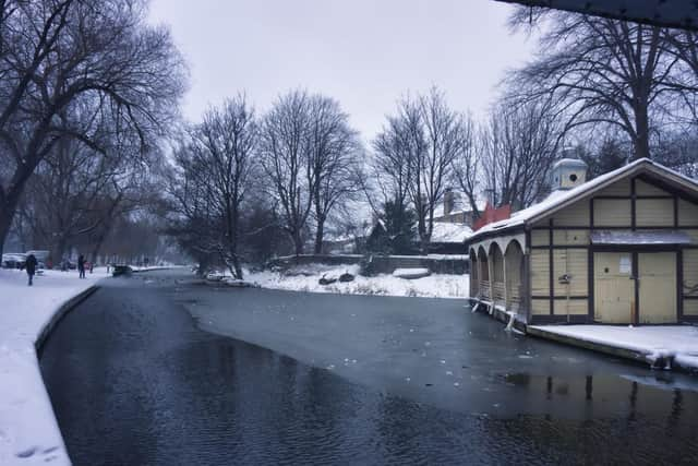
Icy patches and heavy showers

The yellow weather warning for ice is in place from 10pm on Tuesday (10 Dec) to 10am on Wednesday (11 Dec), and covers Central, Tayside & Fife, Grampian, Highlands & Eilean Siar and Strathclyde.
Advertisement
Hide AdAdvertisement
Hide AdThe Met Office explains that “icy patches are likely to develop during Tuesday night as frequent blustery, heavy showers of rain and hail fall onto cold surfaces, especially untreated roads and pavements.
“Meanwhile, above 200 metres elevation, showers will fall as snow at times, perhaps with 2-6 cm of snow above 400 metres, blown along by strong, gusty winds.”
Some icy patches are expected on untreated roads, pavements and cycle paths, making injuries and accidents more likely.
Rain forecast today
A Met Office yellow weather warning for rain is also in place until 3pm on Tuesday (10 Dec), covering Central, Tayside & Fife, Highlands & Eilean Siar, SW Scotland, Lothian Borders and Strathclyde.
“Rain, heavy at times will cross Scotland during Tuesday accompanied by strong and gusty winds. Rainfall accumulations widely 20 to 40mm locally 60mm over high ground of western Scotland,” the Met Office said.
The Met Office warned the unsettled weather may affected some transport services and may result in some localised flooding:
- Bus and train services probably affected with journey times taking longer
- Spray and flooding on roads probably making journey times longer
- Flooding of a few homes and businesses is likely
Strong winds causing disruption
Advertisement
Hide AdAdvertisement
Hide AdA third Met Office yellow weather warning for wind is in place until 5pm on Tuesday (10 Dec), covering Central, Tayside & Fife, Grampian, Highlands & Eilean Siar, SW Scotland, Lothian Borders and Strathclyde.
The Met Office said: “Very strong winds are expected during Tuesday and may cause some disruption.”
What to expect:
- Some delays to road, rail, air and ferry transport are likely
- Probably some bus and train services affected, with some journeys taking longer, made worse by spray and surface water
- Delays for high-sided vehicles on exposed routes and bridges likely
- Some short term loss of power and other services is possible