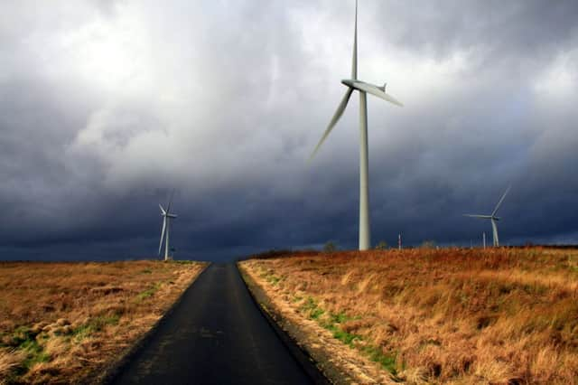
Wind turbines now visibile from half of Scotland


A new Scottish Natural Heritage (SNH) report shows the scale of areas affected has more than doubled in the past five years, from 19.9 per cent in 2008 to 45.9 per cent in 2013.
Anti-wind campaigners have condemned the report as out of date, since it only accounts for turbines that were already operational by the end of 2013.
Advertisement
Hide AdAdvertisement
Hide AdThe true picture is “much grimmer”, they say, since a number of further schemes have already been constructed and many more are being developed.
Linda Holt, a spokeswoman for anti-wind-farm alliance Scotland Against Spin, said: “The situation is actually much grimmer as hundreds of giant industrial turbines have been erected in the last 15 months, and thousands more are due to be erected or are in the planning process.”
John Milne, co-ordinator for the conservation charity Scottish Wild Land Group, said: “If the Scottish Government succeeds in meeting its onshore wind targets, how much of our wild land will remain unspoiled by turbines and what will be the consequences for Scotland’s tourist trade, estimated to be worth over £23 billion by 2025?”
The campaigners also accused the quango of colluding with Scottish leaders in hushing up the real impact of green energy goals, which aim for all the country’s energy to come from renewable sources by 2020.
Ms Holt said: “Only a Scottish Government clinging on to a discredited wind energy policy stands to gain from keeping information about the true scale and extent of wind farm development secret.
“How much longer will SNH help Scottish ministers to hear no evil, see no evil and speak no evil when it comes to industrial wind turbines?”
The report shows the percentage of Scotland’s land area from which built developments can be seen. It includes airfields, major bridges, quarries, offshore structures, wind turbines, buildings, roads and overhead cables.
The overall area from which one or more types of built development can be seen rose to 73 per cent in 2013, an increase of nearly 12 per cent from 65.4 per cent in 2008.
Advertisement
Hide AdAdvertisement
Hide AdMost categories showed no change, but the visual impact from wind turbines rose from 41.7 per cent to 45.9 per cent in just 12 months.
Minor roads increased by 0.2 per cent, mainly in areas of forestry or sites associated with wind turbine construction.
Overhead lines showed a 0.6 per cent increase, but the report suggests this is down to more detailed mapping of networks on Skye and Shetland.
SNH admitted the most recent visual impact indicator had been delayed, but insisted this had been necessary in order to safeguard its accuracy.
The agency also defended a hold-up in publishing its most up-to-date wind turbine footprint map, covering the period to August 2014, blaming ongoing work with the Scottish Government “to develop a more robust, transparent and complete approach to mapping”.
Ms Holt added: “Far from becoming a world leader in the green revolution, the Scottish Government is fast turning into a world-class green monkey.”
FOLLOW US
SCOTSMAN TABLET AND MOBILE APPS