Foula: the Shetland island '˜missing' from a map


Around 111.5 million sq km of the UK have been covered by the custom made map online service since it was launched in 2011.
Now Ordnance Survey has sent a copy of the new map to each of the 30 residents on the island in honour of it becoming the last place to join the OS database.
Advertisement
Hide AdAdvertisement
Hide AdSheila Gear, Foula’s post office manager who is distributing the maps to residents, saods: “It was a pleasant surprise to receive the maps from OS, and to now be part of OS’s story.


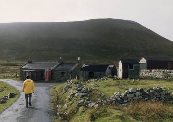
“I’m a big fan of OS and its maps, and twenty years ago I actually even helped the OS surveyors map the island when they visited. Foula has a strong community, and it has many beautiful areas and an abundance of wildlife. I recommend a visit, but do bring a map.”
OS launched its Custom Made map service to allow its customers to generate their own personalised OS Explorer or OS Landranger flat or folded maps.
The service gives you the power to centre the map on the location of your choice, and you can also give your map its own unique cover and title. Yet no one had done this for Foula.
Closer to Norway than either Edinburgh or London, Foula is one of Britain’s most remote inhabited islands, with a population of around 30.


It is situated 172 km east of the Scottish mainland, and is part of the Shetland Islands, which, with the exception of Foula, have all been covered at some point in OS’s Custom Made maps.
Ordnance Survey Consumer Product Manager, Paul McGonigal, says: “Custom Made maps make terrific gifts for outdoors people and for anyone wanting an original way of capturing a memory, say a holiday, a wedding or a favourite walk with your dog, and so on. So, as part of our process to improve this service by possibly introducing new elements, we began examining the existing data behind it in finer detail.
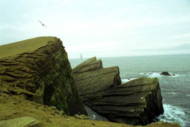
“To think our customers have collectively covered almost every bit of Great Britain is fantastic. There are other equally remote areas of Great Britain that have been covered in Custom Made, so we’re at a bit of a loss to explain why Foula is the exception. I don’t know much about the area, only that I’ve read it has been designated as a special protection area for birds and is a site of special scientific interest for its plants, birds and geology and runs off a different calendar to the rest of us. Maybe as part of our GetOutside initiative people will now be inspired to explore Foula and report back their findings!”
Foula facts
Advertisement
Hide AdAdvertisement
Hide AdLength of coastline: 25.95 km (27.95 km with small islands next to the coast).
Landmass is 12.95 sq km.
Landmass of other islands: Arran 426.7 sq km; Anglesey 676.4 sq km; Lundy 4.25 sq km; Isle of Wight 379.2 sq km; Rhum 106.6 sq km; Eigg 29.5 sq km.
172 km from Scotland’s mainland.
Foula is 467 km from Edinburgh.
963 km from London.
410-420 km to Bergen on the West coast of Norway (measured from Bing and Google Maps).
There are 6.5 km of public road and a further 1.22 km of private roads.
Highest points: 418 m Da Sneug.
Foula has 33 caves, 5 natural arches, 6 named lochs, 27 km of waterways (excluding ponds and lochs), 5.8 sq km of open water (lochs, ponds etc), 86 buildings and no woods.