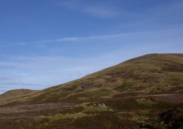
Walk of the Week: Ben Chonzie from Glen Lednock


So hearts soared when the forecast suggested the chance of an inversion on the mountains above Comrie and Crieff. This is when low-lying cloud or mist stays in the glens, leaving the tops bathed in sunlight and allowing those who have gone up to look out over a sea of cotton wool with mountain peaks thrusting through the surface.
From the little car park in Glen Lednock, things looked promising for such a phenomenon as the low cloud obscured the slopes.
Advertisement
Hide AdAdvertisement
Hide AdHowever, setting out only a little after breakfast, the wind and sun did their job well and by the time higher slopes were reached by way of a wide track, not only was there blue sky overhead but it was almost warm enough to take coats off.
A fine promenade ensued with great views in all directions – from the Beinn a’Ghlo range to the north-east, north to Ben Lawers and east to Ben More, while the Trossachs lay to the south-west with the Campsies and Ochils further round to the south.
There’s only today left of November, but in the coming weeks it is not inconceivable the weather conditions will allow for another sunlit ascent of this Munro.
DISTANCE: 7 1/2 miles.
HEIGHT CLIMBED: 2,350ft.
TIME: 4 to 5 hours.
MAP OS: Landranger 51.
PARK: At the western end of Comrie turn off the A85 at the Deil’s Cauldron restaurant (following a sign for Glenlednock). There is a parking area 4∫ miles down the minor road on the right.
IN SUMMARY: To start the walk, follow a track on the right leading from the parking area away from the road. On reaching some cottages at Coishavachan go right in front of them and then through a large metal gate.
On the other side of the gate go left and follow a track up the Invergeldie glen. After a few hundred yards the track crosses the Invergeldie Burn before going through a metal gate and then turns sharp right to climb more steeply. After passing through another metal gate the track drops down to re-cross the burn, below a small dam, and then climbs up again on the other side.
At a fork in the track go left and climb up onto heather-clad moorland. After fording a small burn via stepping stones ignore a track going off to the left and keep straight on, climbing up to the broad southern slopes of Ben Chonzie.
About a mile further on (before the top of the ridge has been reached) look out for a small cairn on the left of the track, on a right-hand bend.
Advertisement
Hide AdAdvertisement
Hide AdGo left here, on to a boggy path which fords a small burn and then heads steeply uphill.
Ignore sheep tracks crossing the path and keep going up, bearing right after a while.
Eventually you reach some stone grouse butts and beyond them a line of old metal fence posts. These lead up, turning sharp right after a few hundred yards, to the summit and its large stone shelter.
Take plenty of time to enjoy the view before retracing your steps to the start.
REFRESH: Comrie has a good choice of places.
WHILE YOU ARE IN THE AREA: If you head to Crieff along the A85, just before you reach the town, go left to find the Glenturret Distillery – home to the Famous Grouse Experience (www.famousgrouse.co.uk/experience). Alternatively, just south of Comrie, along the B827, is the Auchingarrich Wildlife Centre (www.auchingarrich.co.uk).