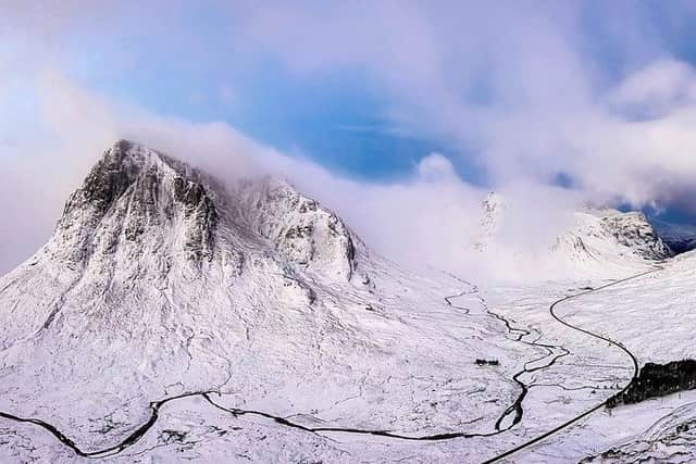
Scotland weather: Strong winds bring avalanche risk to mountains
The Scottish Avalanche Information Service (SAIS) said there was a potential risk of snow slides on some hill and mountain slopes.
It said walkers and climbers should be aware that their activities could trigger an avalanche.
Advertisement
Hide AdAdvertisement
Hide AdSAIS – which monitors for avalanche risks in Lochaber, Glen Coe and Creag Meagaidh, and also covers the Southern Cairngorms, Northern Cairngorms and Torridon – is not due to begin its latest forecasting season until tomorrow.


The Met Office are warning that ice will again form on some surfaces from tomorrow morning.
In addition, wintry showers will spread from the west with some accumulations of snow, though mostly restricted to high ground. The Met said there will probably be icy stretches on untreated roads, pavements and cycle paths with some slippery surfaces likely. Most of the snow accumulations will occur above 200m where 2-5 cm is likely in places, mainly over higher parts of western Scotland where greater amounts are likely at higher elevations. There is also a small chance of travel disruption across parts of the country.


Craig Snell, a forecaster at the Met Office, said: “We could start to see some sleet and snow, even on lower levels in western Scotland and Northern Ireland for the evening rush hour.
“All in all, today it will be a blustery, showery day across the country, with showers turning increasingly wintry the further north and west you are in the country.”
The cold weather is expected to return over the weekend - although lows such as those seen on Monday look unlikely to be reached.
Mr Snell added: “It’s a bit of a rollercoaster on the temperatures over the next four or five days.
“We’re not likely to see the -13C of the other night but we could see temperatures potentially at -7C (19F) in a few spots, but generally remaining cold but not as cold as we started the week.”
Advertisement
Hide AdAdvertisement
Hide AdAir and rail services - which were disrupted earlier this week by the weather - appear to be returning back to normal, with the Eurotunnel running on time and flights operating as normal out of Heathrow.
The Met Office has issued a yellow weather warning for ice covering nearly the entire country – with the exception of London, the south-east and south-west.
Scores of primary and secondary schools cancelled lessons on Monday and Tuesday owing to the weather in England and Wales – citing concerns about untreated roads.
