Traces of 1,000 new archaeological sites emerge on Scottish island
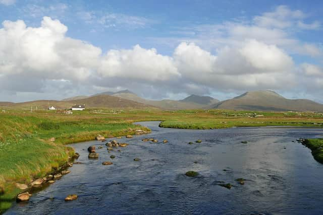
The sites on South Uist are likely to represent thousands of years of history and more than double the number of locations where traces of past human activity can be found.
Evidence of villages that were emptied during the Clearances has emerged as have previously unknown remains of the kelping industry, which became central to the island economy in the early 1800s.
Advertisement
Hide AdAdvertisement
Hide AdArchaeologists from Historic Environment Scotland are set to travel to South Uist later this month to further investigate the sites which have been detected by Lidar, an airborne laser scan which records the landscape in 3D and which picks up subtle changes in the landscape.

Dr George Geddes, senior archaeological survey offficer at Historic Environment Scotland, said the new data would aid the first comprehensive archaeological survey of South Uist since the 1960s.
He said: “I expect we will find 1,000 new sites – but we haven’t found them yet. Many of them will be abandoned houses and places linked to crofting and sheep farming. We will almost certainly find prehistoric sites. We now have fantastic data and aerial photographs which can help identify these sites.”
He described South Uist as an “incredibly dense” archaeological landscape with remains of past activities surviving given the absence of industrial farming on the island.
He said: “In places like South Uist, you are looking at crofting, lots and lots of small farms, and much more archaeology survived because you don’t have big tractors and other machinery on the land.
“We recently did some work in the Scottish Borders and a lot of the time you are looking out over these level, smooth fields. South Uist couldn’t be more different.”
Dr Geddes said the trip to South Uist allowed archaeologists to “poke and prod” at the areas highlighted by the Lidar scans.
He added: “A big reason that we go is that for around 25 % of the stuff, you really need to see it in person. It’s like seeing a patient in a doctor’s surgery.
Advertisement
Hide AdAdvertisement
Hide Ad“The archaeology is like the patient and a lot of the time we are able to tell what the patients is without looking at it in person.
“But you get more information when you poke and prod a patient and it is much the same when we can poke and prod the archaeology .”
He said that Lidar detected subtle shifts in the landscape with previously undetected features emerging.
Dr Geddes added: “One of the interesting things that we expect to find is evidence of kelping, the harvesting of seawed, of which there was a huge amount of in the 1800s.
“We are much more likely to find this stuff than ever before as the traces are quite subtle but are picked up by Lidar. We are also more likely to find sites linked to crofting and the clearances.”
While locations of villages may have been known, the extent of remains of these settlements is now emerging.
"We will probably be able to find much more of these people’s houses than ever before,” he added.