Instagram-friendly maps launched for the Hebrides
The two limited-edition maps for the Uists have been developed by CalMac Ferries and Outer Hebrides Tourism for tourists wanting the best shots of their holidays for their social feeds.
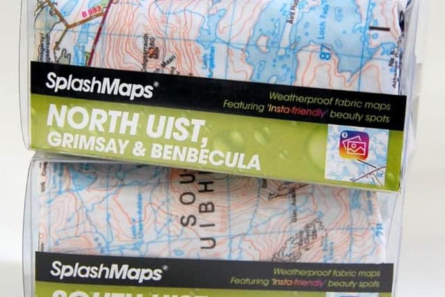
The adventure scale maps, designed in all-weather waterproof fabric, have the traditional layout and trusted grid reference points but also include a new Insta-friendly symbol created and added to sit alongside the traditional ‘place of worship’ and ‘museum’ symbols from traditional maps.
Advertisement
Hide AdAdvertisement
Hide AdIslanders helped identify the 20 most ‘Instagrammable’ beauty on the islands.

Proceeds from the sale of the maps will go to the Royal National Lifeboat Institution (RNLI).
Among the ten most Instgrammable locations for Berneray, North Uist, Grimsay and Benbecula were the Giant MacAskill statue on Berneray commemorating Angus MacAskill (1825-1863) who at 7ft 7inches who was recorded in the Guinness Book of Records as the world’s tallest man, Traigh lar, a beach wildlife haven on North Uist, South Ford cockle beach on Benbecula, and Grimsay Harbour, famed for seafishing.
The top ten for South Uist and Eriskay range from the FIFA-recognised football pitch on Eriskay and Roshinish on South Uist which has a view of where the SS Politician cargo ship, carrying more than 250,000 bottles of whisky sank in 1941. The incident was the basis of ‘Whisky Galore’ a novel by Compton Mackenzie, which was later made into an Ealing comedy film in 1949.
A 2016 remake premiered at the 2016 Edinburgh Film Festival.
Andrew Macnair, head of marketing at CalMac Ferries, said the original intention was to have online maps only.
“However, the enthusiasm that has flooded into the tourism office for the products showed that there was a demand to create a physical product. We’re delighted to bring the islands to life with these bespoke maps, and can’t think of a more rewarding charity to receive the sale proceeds.”
Robert McKinnon, chief executive of Outer Hebrides Tourism said social media had helped raise the islands’ profile worldwide.
Advertisement
Hide AdAdvertisement
Hide Ad“We look forward to welcoming visitors to Uist and seeing Instagram feeds fill with snapshots of their adventures on the islands.”
The £20 maps, designed and made by Hampshire-based SplashMaps using Ordnance Survey’s familiar Landranger style of map, are for sale for at Welcome Points on Uist.