In the 19th century the Ordnance Gazetteer of Scotland described Blackhall as “a village on the mutual border of St Cuthbert's, Corstorphine, and Cramond parishes, Edinburghshire, on the road from Edinburgh to Queensferry, 2.25 miles west by north of Edinburgh with a head post office, with telegraph department”.
It’s though to have got its name from the Scots word ‘blac’, simply meaning ‘black’, and the word ‘haugh’, meaning ‘land beside or in the bend of a river’.
It was soon to become part of Scotland’s Capital, with the majority of the housing built in the inter-war period between 1918 and 1939.
There has been little in the way of recent additions to the area’s housing stock, although there has been a recent controversial development the north east slope of Corstorphine Hill.
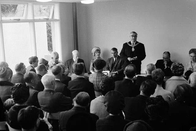
There are several local community groups - including a bowling club, Probus Club, horticultural society and a community council.
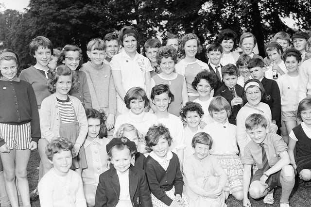
Children attend Blackhall Primary School, before going on to attend the nearby Royal High School.
Here are 15 pictures of Blackhall to take youback to the area in the 1950s and 1960s.
Read more:
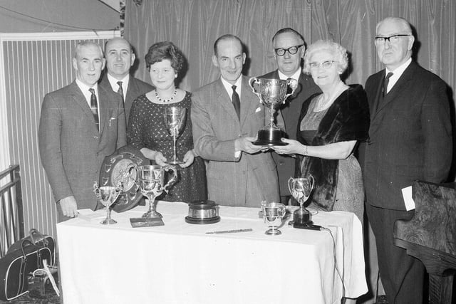
1. Bowled over
The Blackhall Bowling Club dinner and prize presentation in October 1964. Photo: Unknown
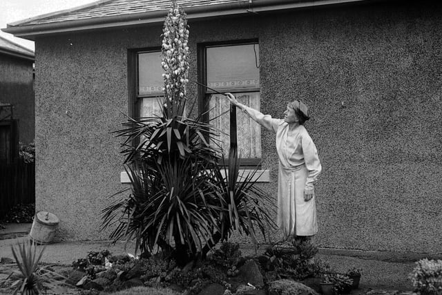
3. Blooming
A Yucca Palm Tree in bloom for the first time in 25 years in a Blackhall garden in August 1956. Photo: Unknown