Unmanned drones used in North Sea oil search


Underwater remotely operated vehicles (ROVs) have been a vital part of Britain’s oil industry for decades, but now remotely-operated flying machines are being deployed in the hunt for new oil reserves.
The drones are being used to study geology from the air in a scheme involving academics at Aberdeen University along with a group at the University of Bergen in Norway.
Advertisement
Hide AdAdvertisement
Hide AdThe drones are being used to scan rock formations in remote areas to help oil industry geologists better understand what lies beneath the surface and improve the industry’s understanding of subsurface reservoirs.
3D model plans
Professor John Howell, a geoscientist at Aberdeen University, explained: “When you drill a well in the North Sea, you can directly measure the rocks in the borehole. However you have much less certainty about what is going on away from the well. Given that two wells are often several miles apart, predicting what the rock layers in between the boreholes look like is a huge challenge.
“To solve this problem we look at similar rock units which occur in cliffs above sea level and we use the drone to make extremely detailed 3D models, which we can then adapt for the subsurface.
“This gives us a much better idea of what conditions are like between these two bore holes and then allows us to predict how the oil will follow and how much we can recover.”
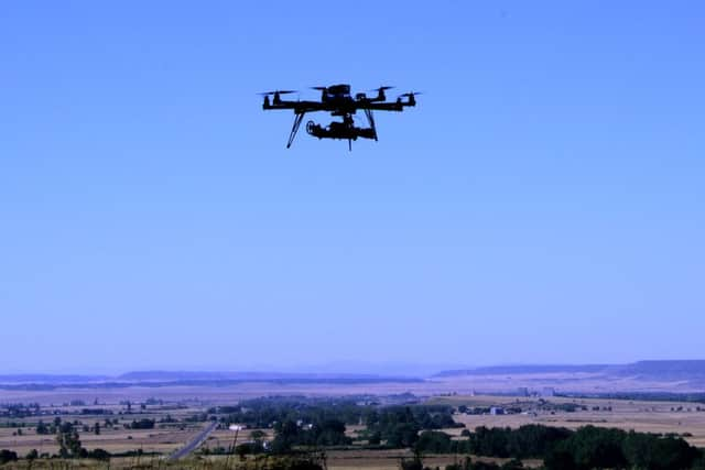
The dual-camera drones can be operated remotely by the teams, with eight independent motors allowing precise control in flight. An Aberdeen university spokesman said: “The drones consist of computer gyroscopically stabilised body, typically with up to eight tiny motors with helicopter-style blades on ‘spider legs’ emitting from its centre.
“The vehicle used in the project costs around £10,000 and is remotely operated using radio controls and carries two cameras which allow it to collect stereo, 3D imagery. The computer stabilisation and multiple motors means it is incredibly stable and provide and accurate map of the rock formations.”
Super-accurate models
The aim of the project, dubbed SAFARI, is to create highly-detailed virtual models of rock formations. Professor Howell said: “The work is part of a project called SAFARI which started in the late 1980s.
“The original workers on the project have seen data collection technology come on in leaps and bounds since then but the introduction of laser scanning was one of the biggest improvements.
Advertisement
Hide AdAdvertisement
Hide Ad“We’re now able to create virtual rock formations that are accurate to within less than a few millimetres.“
The project’s goal is to develop a fully searchable database of relevant rock formations which will help oil companies build better models of the subsurface and improve recovery from oilfields. The research is being supported by 24 oil companies, including a number of unidentified oil majors.
SEE ALSO: