Walk of the week: Burntisland/Kinghorn Walk


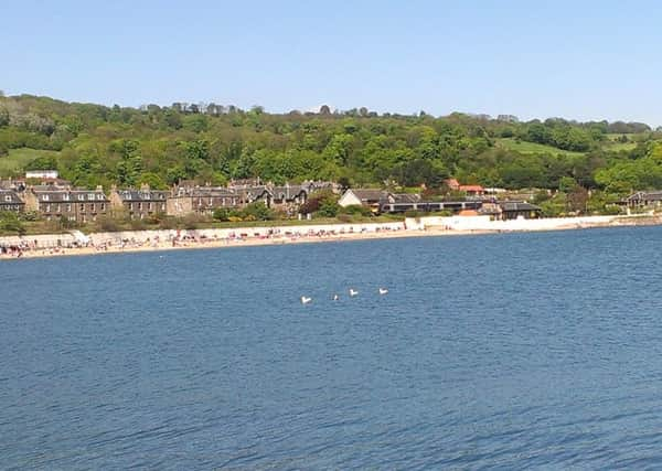
Rather than following the FCP via the A921, we ended with a lovely stroll along Burntisland beach.
My thanks go to the staff at Craigencalt visitor centre who, on hearing of our hoped for beach return, confirmed that high tide was due at 4.45pm. Look up the tide tables before you leave! I was also kindly given a booklet, Kinghorn Pathways, with a choice of short to longer distance trails for walkers, cyclists and horse riders; widely available elsewhere, £1 donation appreciated.
The route
Advertisement
Hide AdFrom the west end of the Links, of schoolboy memories of the annual fair, head up Cromwell Road - yes, his forces were here in 1651. Cross East Toll roundabout, by the new school, then by the pavement of the gently rising A909, the Cowdenbeath road. On the north side, map ref 226867, is a sign (its message only shown on the distant side), public footpath to Standing Stanes Road. The lovely path of old cuts through the wooded strip then zigzags to reach a stile. Traverse open country by a grassy path to meet another backside-first sign, map ref 226870, public path to Kinghorn by The Binn.
Passing Binn Pond on the left, a broad grassy track steadily climbs towards the 125m high Craigkelly broadcasting and telecommunication mast. Turn right as signposted and so to the craggy escarpment face leading to The Binn, a 632ft/193m volcanic plug graced with a viewfinder and a glorious viewpoint to the south.
Descend eastwards to a path crossroads. (To the left is Binnend, founded by James “Paraffin” Young in 1878 to house those employed in the production of shale-oil. The last inhabitant left in 1954 and little now remains.) Cross the remains of a metal barrier and continue eastwards. The enclosed spoil heap on the left is a reminder of the town’s former plant for the refining of alumina, opened in 1917 but closed in 2002.
Continue by track and path to reach the B923, map ref 251872. Head east past Whinniehall landfill site, then turn left as signposted - public path to Kinghorn Loch, a stony track (Bramble Lane) that descends to the charming hamlet of Craigencalt Farm and Ecology Centre.
Follow the east end of Kinghorn Loch, cross the outflow by metal footbridge and so back to the B923. Cross the road for the signposted Burnside Path. The sign rather suggests cutting through wasteland. Not so! Go as far as the edge of the fields from where the excellent path leads to the outskirts of Kinghorn.
Cut up to the right and follow the perimeter of the golf course, then descend left by the edge of the school to reach the A921, then followed westwards. Later pass the entrance to Kinghorn golf club and on the left the FCP comes in from Pettycur. The FCP continues by pavement all the way to Burntisland, passing a roadside cross commemorating Alexander III who fell to his death from the cliff top in March 1286.
Advertisement
Hide AdHowever, on reaching Pettycur holiday park, we turned left, crossed the railway line by road bridge and followed a narrow path by the park’s perimeter to reach the beach. Head west, at first by a bouldery area beneath the rocky headland, then along the glorious sandy beach of Blue Flag status. Due to the tide, we used the tunnel under the railway at the east end of Burntisland, then by pavement back to the Links.
MAP Ordnance Survey map 66, Edinburgh
DISTANCE 7 miles
HEIGHT 200m
TERRAIN Pavement, path and sandy beach
START POINT Cromwell Road, Burntisland, west end of Links
TIME 3 to 4 hours
NEAREST TOWNS Burntisland and Kinghorn
REFRESHMENT SPOT Potter About, 253 High Street, Burntisland