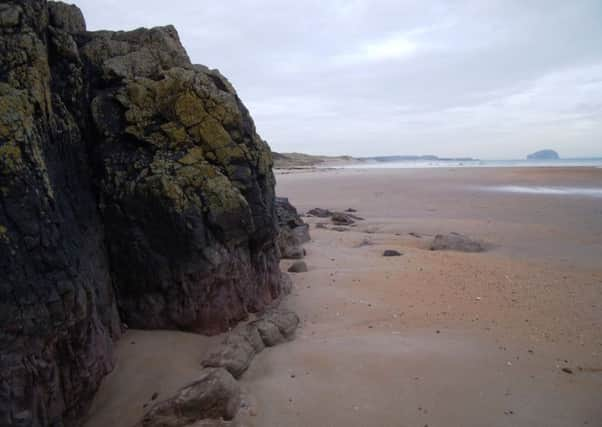
Scottish walks: Ravensheugh Sands, East Lothian


Instead of the usual route which takes you through towering rhododendrons, I took a faint path which threaded its way above the estuary of the River Tyne before reaching the headland of St Baldred’s Cradle, named after an 8th century hermit who roamed this area.
Then came the sands, a place to wander and gaze out to Bass Rock – said to have once been a home for the saint.
Advertisement
Hide AdA return goes past horse paddocks where there are one or two more padlocks on gates than in the past, but it is still a pleasant place to end an invigorating stroll.
DISTANCE 4 miles.
HEIGHT CLIMBED Negligible.
TIME 1∫ to 2 hours.
MAP OS Landranger 67.
PARK Just over half a mile north of the village of Tyninghame, on the A198, turn right to reach a car park at the end of a straight country lane (there is no sign at the start of the lane; the car parking charge is £2).
IN SUMMARY Carry on to the end of the car park and follow a track round to the right. Go through a gap next to a wooden gate and walk down the straight track.
After a few hundred yards ignore a path on the left and continue through pines. At the end of these ignore another path on the left and continue to the end of the track, where you meet the River Tyne Estuary. Take a path going left, above the shoreline, initially through rhododendrons but then re-emerging by the water. After a few hundred yards the path goes left next to an old wall. At a metal gate on the left, go right to follow a path through pines. Ignore a path on the left and keep going straight on, leaving the trees behind and reaching St Baldred’s Cradle – the headland is marked by an incongruous red stone bench at the mouth of the River Tyne.
Continue round to the left on a path which gradually drops down before bending right, above a small bay. Drop down to the beach – Ravensheugh Sands – which you follow for about a mile and a half. At high tide you may be cut off at a rocky outcrop – check tide times at www.ukho.gov.uk/easytide.
As the high dunes end, head inland, a couple of hundred yards before the Peffer Burn reaches the beach. Walk up through the now very small dunes to reach a fence, where you go left to follow it. After about 100 yards follow the fence to the right to reach a track.
Advertisement
Hide AdGo left, following a sign for Tyninghame Links car park, with paddocks to the right of you.
At the end of the fields the track goes right then left though woodland to another track, where you go left.
Advertisement
Hide AdPass through a gap next to a metal gate, ignore another track going left, and keep straight on. Just before the end of the track, go left, then through a gap by a wooden gate. After this, go right to walk the last few yards to the car park.
REFRESH The Tyninghame Smithy café in the village of the same name (take the turn off from the A198 just south of the one for the car park at the start of the walk).
WHILE YOU ARE IN THE AREA The Scottish Seabird Centre at North Berwick is one of the best tourist attractions in the country with interactive exhibitions as well as telescopes and live webcams to look over to Bass Rock. It also has a good café. www.seabird.org.