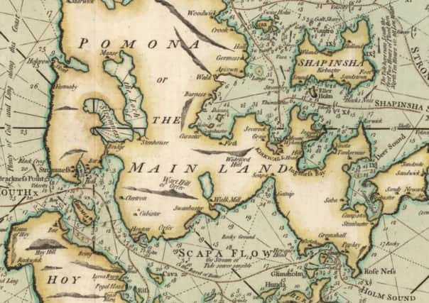
Book review: Scotland - Mapping the Islands, By Christopher Fleet, Margaret Wilkes and Charles WJ Withers


Co-authored by the cartographical dream-team of Christopher Fleet, Map Curator at the National Library of Scotland, Margaret Wilkes, Chair of the Royal Scottish Geographical Society’s Collections Committee, and Charles WJ Withers, Ogilvie Chair of Geography at the University of Edinburgh and Geographer Royal for Scotland, it follows on from their 2012 publication Scotland: Mapping The Nation.
As the introduction to Chapter eight points out, “Once, map historians held the view that map history was a narrative of progress… that maps got ‘better’ over time. [However,] map history is now understood not in terms of linear development towards a final end but as a more complex and diverse subject in which we always need to understand the content of maps in relation to the context of maps.” Or, to put it another way, old, inaccurate maps are not useless because they are inaccurate – quite the opposite – they might actually be very useful if we view them as cultural artefacts that reflect the context of their making, rather than simply as flawed aids to navigation.
Advertisement
Hide AdAdopting this approach, the authors take us through a dazzling treasure trove of maps in a thematic way, rather than simply arranging them in chronological order. The first chapter, Peopling, gives a fascinating overview of how a series of maps of the same place made at different times can illustrate the movement of population from one area to another, particularly with reference to the Clearances. Similarly, the chapter on Naming shows how changes in place names can be viewed in almost geological terms, showing different “strata” of language laid down over time.
Further chapters on Navigating, Defending, Improving and Exploiting reflect how the islands have been viewed by the people mapping them – usually the rich and powerful. The final two chapters, Picturing and Escaping, are concerned with maps as works of art and as aids or invitations to escape.
This is a hugely impressive work of scholarship, not to mention a lifetime’s supply of daydreaming material. Be warned though: the captions to the maps are so thorough that if you read them at the same time as the essays you’ll more than likely lose your thread. Read the essays first (they’re worth it) and then return to luxuriate in the illustrations at your leisure.
*Scotland: Mapping the Islands by Christopher Fleet, Margaret Wilkes and Charles WJ Withers is published by Birlinn, £30