Walk this way: New online map reveals Scotland's 'hidden' trails
Ramblers Scotland has unveiled the “best-ever” atlas of the nation’s paths, making hundreds of previously uncharted tracks visible to the public.
The online resource shows almost 42,000 miles of paths in all, stretching across the whole country, including many not marked on Ordnance Survey maps.
Advertisement
Hide AdAdvertisement
Hide AdThe walking charity’s digital Scottish Paths Map brings together information from numerous sources, including trails recorded and vetted over the past year by more than 100 Ramblers Scotland volunteers.
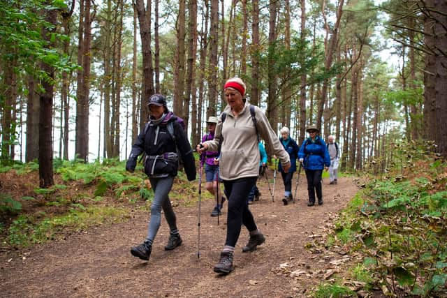

Since 2019 members of the charity have completed around 1,500 path surveys, adding hundreds of unmapped paths covering more than 85 miles in total.
Brendan Paddy, director of Ramblers Scotland, said: “Scotland has amazing landscapes and world-class access rights, yet sadly many people still lack confidence about where to walk – so mapped paths are key to creating a healthier, happier nation.
“I moved to Scotland in 2016 and, like many people who move north, was surprised to see so few paths on Ordnance Survey maps.
"This made it harder to explore close to home and I found myself for the first time having to rely mainly on guidebooks and websites to find routes when visiting new areas further afield.

“I firmly believe that improving public access to path information would boost the nation’s health and well-being – and help even the most experienced walkers to plan new, fun days out.
“I’m so pleased that after two years of hard work alongside partners and about 100 Ramblers volunteers, we have launched the best-ever map of Scotland’s paths.”
But the charity is not done yet, and is calling for keen walkers and other organisations to share their own favourite uncharted routes.
Advertisement
Hide AdAdvertisement
Hide AdMr Paddy said: “While this is the best-ever map of Scotland’s paths, we believe that it can be still be improved, so I’d encourage people to volunteer to help us audit data and identify thousands more hidden paths across Scotland.”
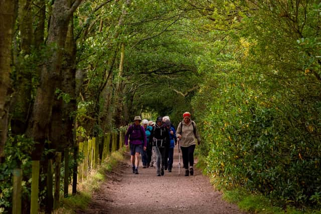
Paths are marked on the map in purple until tried out by volunteers, then changed to green.
Many more trails are expected to be checked out in the months and years to come, enabling the public to access useful details such as surfacing, condition, waymarking and obstacles.
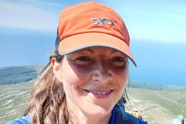
Ramblers Scotland president Lucy Wallace, a mountain leader and wildlife guide, has been helping test the technology and assess paths on her home island of Arran.
She said: “As it grows it will be a super-useful planning tool with publicly available information about important things like path condition and obstacles such as gates or stiles.
“As one of the volunteer auditors, I'm having a great time walking with purpose in my local area and helping to put this data on the map.”
It can be found at ramblers.org.uk/mappingscotlandspaths and will be regularly updated.
The Ramblers Scotland team sad it believes that shining a light on these hidden paths will create better walking links between communities, opportunities for fun days out and space for people to boost their health outdoors.
Advertisement
Hide AdAdvertisement
Hide AdThe interactive map, which was developed with support from People’s Postcode Lottery, can be used on desktop computers and mobile devices.
TOP FIVE ‘HIDDEN’ PATHS
Dunearn Hill, Fife
This is an attractive viewpoint just north of Burntisland, which offers panoramic views of the Forth estuary. Despite being a popular local beauty spot, which bizarrely sports a fancy sofa at its summit, one of the main paths to its summit, via the south shore of the Devil’s Spadeful loch, is not included on mainstream maps.
Oak and South Woods, East Lothian
These beautiful broadleaf woodlands near East Linton feature many well-constructed trails, yet other maps only show some of the available paths and no circular routes. The Scottish Paths Map shows a range of attractive loop walks for people to enjoy.
Maspie Den, Fife
These spectacular trails, which once formed one of the showpieces of the 19th-century Falkland Estate, offer visitors an intriguing route and the chance to walk behind a stunning waterfall.
Pitcairns Glen, Perthshire
This wooded glen offers a gentle loop near the picturesque village of Dunning. It also contains designated ‘core paths’, yet they do not feature on Ordnance Survey maps. It is a real hidden gem.
Den’s Cleugh path, Pentlands
This is one of the best-loved paths in the Pentland hills, just south of Edinburgh, yet doesn’t feature on Ordnance Survey maps. It offers an important and useful lower-level path alongside the White Cleugh burn, linking Glencorse reservoir to the east and Threipmuir reservoir to the west.
A message from the Editor:
Thank you for reading this article. We’re more reliant on your support than ever as the shift in consumer habits brought about by coronavirus impacts our advertisers.
If you haven’t already, please consider supporting our trusted, fact-checked journalism by taking out a digital subscription.
Comments
Want to join the conversation? Please or to comment on this article.