Walk of the week: Three hills in the Pentlands


But sometimes it is easy to forget how great they are. So if you want to get into the hills during the holidays but don’t have the time or inclination to travel to the Highlands, remember the gem in the Central Belt.
Among the many hills is a fine, broad ridge, including the high point of the range – Scald Law – where the views stretch from the Ochils across the Firth of Forth to the Lammermuir and Moorfoot Hills in the east.
Advertisement
Hide AdAdvertisement
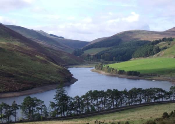
Hide AdBelow the ridge is a lovely glen, filled by two reservoirs. It doesn’t matter which way round the walk is done, but I think it’s best to join the ridge at the head of the glen, meaning the second half of the walk is up high.
DISTANCE 7∫miles.
HEIGHT CLIMBED 2,000ft.
TIME 4 to 5 hours.
MAP OS Landranger 66.
PARK Take the A702 south from Edinburgh City Bypass and after about three miles, turn right at the Flotterstone Inn. Follow the narrow road beyond the pub to reach a car park next to an information centre after about 100 yards.
IN SUMMARY Leave the car park and follow a path which starts next to the information centre. This goes into trees and follows the line of a minor road to the left, beyond a wall. After a few hundred yards, you emerge at the road. A few dozen yards down the road go left, through a metal pedestrian gate and on to a path which follows the edge of a field to the right. Ignore a path going left and continue to another gate. Once through this, the path bends right and enters a lovely little glen filled with pines.
The main path climbs up to the road, where you should go left to walk up towards Glencorse Reservoir. The road takes you along the length of the stretch of water and then reaches Loganlea Reservoir. At the end of this, walk past a white house, The Howe, and follow the track round to the left. Once over a burn, take a grass path on the right – it is signed “Kirk Road” as in a bygone era churchgoers would use the path to travel between Balerno and Penicuik.
The path leads up steeply to reach a ladder stile, which you cross before following a fence uphill to a small stile at a bealach. Cross back over the fence here and follow a zig-zag path up to the trig point at the 1,900ft top of Scald Law.
Drop back down to the bealach and go up the other side to begin the walk up Carnethy Hill; at the top the remains of a Bronze Age cairn have been used to make a series of stone shelters. Continue down the other side to another bealach, which you cross over to continue up the grassy slopes of Turnhouse Hill. From the top of this, the main path continues along the ridge a short way before veering right.
Follow the path down to a stand of trees then continue down to a fence with a gate at its end, which you go through. After going through a second gate, the path swings left and drops to two small wooden bridges. Cross the larger bridge on the left to reach a gate with the path taken near the start. Go right to retrace your steps the short way to the car park.
Advertisement
Hide AdAdvertisement
Hide AdREFRESH The Flotterstone Inn, near the car park, is a cosy spot.
WHILE YOU ARE IN THE AREA The centre of Edinburgh is less than half an hour away, with enough to occupy you for days. Closer to hand – less than a mile to the north up the A702 – is the Iron Age Castlelaw Hill Fort (historic-scotland.gov.uk).