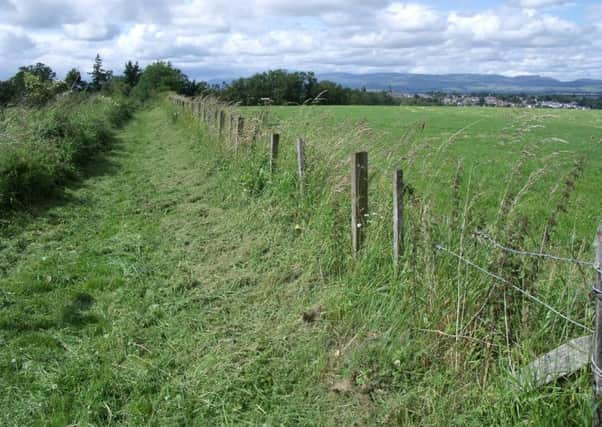
Walk of the week: Johnny Mathie’s Road, Auchterarder


The Ochils look much softer from here – gentle slopes rather than the steep-sided wall of hills seen from the southern side – and a walk from the centre of Auchterarder takes you to the edge of the range. As well as looking nice, the hills give a sense of escape despite the proximity of Scotland’s main area of population because their position effectively blocks off the central belt.
Johnny Mathie’s Road – actually a path – leads past flower-filled hedgerows and woodland to a viewpoint not only over the Ochils but also north to the mountains of Highland Perthshire. Quiet country lanes then lead back into the town, making this a walk for all abilities.
Advertisement
Hide AdAdvertisement
Hide AdThe story goes that Johnny Mathie (or Matthew) was a postman who walked the route on his round every day.
DISTANCE 3 miles.
HEIGHT CLIMBED 350ft.
TIME 1∫ to 2 hours.
MAP OSLandranger 58.
PARK The Crown Inn Wynd car park is off the High Street in Auchterarder, opposite the Post Office.
IN SUMMARY Head eastwards down Auchterarder’s High Street and turn right, down Ruthven Street, opposite Café Bianco. At the bottom of the road go left to take a surfaced path across Ruthven Water, which then turns right to pass below the A9. Go left on reaching a lane, but after only a few yards turn right on to a path with a signpost indicating “Johnny Mathie’s Road”.
The path leads past a picturesque white farmhouse and over a railway line before going up to a minor road. From here, the high point of the walk, as well as seeing the edge of the Ochil Hills in front, you can look back over Auchterarder towards the mountains of Perthshire. Go left, along the minor road, and drop down to a collection of houses near a large, green-roofed barn. Ignore a road on the right and bear left around the barn, still following the minor road. This drops down and goes under the railway line.
At a junction, go straight on, following a sign for a path to Auchterarder. The narrow lane leads back to the path below the A9, taken earlier. Follow this back to the start of the walk.
REFRESH There is a wide choice in Auchterarder. However, if you really want to push the boat out, head a few miles west to Gleneagles and Andrew Fairlie’s Michelin-starred restaurant.
WHILE YOU ARE IN THE AREA The nearby village of Dunning is full of history, including the 13th century St Serf’s Church and the Pictish Dupplin Cross (www.historic-scotland.gov.uk).
Advertisement
Hide AdAdvertisement
Hide AdYou could also head north to Crieff and the Glenturret Distillery, Scotland’s oldest. It is home to the Famous Grouse Experience with tours, tastings, a restaurant, bar and shop (www.famousgrouse.co.uk). n