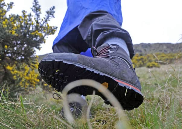
Walk of the week: Beinn a’Chochuill and Beinn Eunaich


The two hills, known to some irreverent hillwalkers as cockle and eunuch, lie less than two miles apart on an east/west ridge that gives spectacular views of Ben Cruachan. On an earlier visit to Cruachan I noted that I had never taken advantage of the Falls of Cruachan railway halt (only open from April to October).
This time I did travel by train – to the secretive Loch Awe Station, from where it is a one-mile pavement stroll by the A85 then on the Stronmilchan loop-road to the start of the hill track.
Advertisement
Hide AdAdvertisement
Hide AdBeinn Eunaich (fowling hill, implying that birds were once a source of food there) and Beinn a’Chochuill (hill of the hood or cap, a name that could apply to many) have the advantage of being non-stalking hills, if approached from the south.
So on a previous visit I was surprised when a Land Rover overtook me on the track ascent. The driver explained that the easiest way for stalkers to reach the northern Coire Glas overlooking Glen Kinglass was to drive then walk to the 728m col on the east/west ridge.
Stalkers too, it would appear, have a lot in common with hillwalkers, preferring an easy approach and taking advantage of convenient tracks.
MAP Ordnance Survey map 50, Glen Orchy & Loch Etive
DISTANCE 8 miles
HEIGHT 1,200m
TERRAIN Track and path to mossy hillside
START POINT Just west of the Allt Mhoille bridge on the B8077, the Stronmilchan loop-road, map ref 135287
TIME 5 to 6 hours
NEAREST VILLAGES Lochawe and Dalmally
NEAREST REFRESHMENT SPOT Glenorchy Lodge Hotel, Dalmally
THE ROUTE
Just west of the bridge over the Allt Mhoille, map ref 135287, there is space for four cars on the south side of the road. Do not impede access to the fields. Cross the bridge and follow the Castles Estate farm track. Take the left fork just before the farm and head uphill. Take note of a cairn on the right at a height of 280m, circa map ref 130306; the return point from Beinn Eunaich.
The track above the Allt Mhoille (the first part of which was bizarrely missing from earlier maps) is one of several built during the construction of the Cruachan reservoir, and makes light of the 350m ascent to the spur track just beyond the Allt Lairig Ianachain. (An alternative is to continue on the main track all the way to the Lairig Noe, from where it is a steep but short climb NNE).
Follow the north-east spur for the short distance to a cairn, from where odd traces of path can be followed on the steep but grassy south-east ridge. Higher up the path becomes more defined to reach the ridge at a height of 890m. Continue WNW beyond a minor bump (one of those points sometimes wrongly assumed in thick mist to be the summit) and so to the small mossy 980m/3,215ft summit.
Advertisement
Hide AdAdvertisement
Hide AdIt is an easy and gradual 250m descent south-east, then ENE, to the 728m col, Lairig Ianachain, sometimes erroneously taken to be the halfway point between the two Munros. From there it is a short, stony 261m climb ENE then ESE, to the 989m/3,245ft summit of Beinn Eunaich, its cairn perched close to the rim of the corrie, and arguably an even better viewpoint than its twin hill.
Descend on the vague-at-first path on the grassy southern ridge that leads towards Stob Maol. (Please note that the lie of the land may draw the unwary directly south into a tricky craggy area above the Eas Eunaich). Before reaching Stob Maol, turn SSW, descending steep grassy slopes, with the worn path soon becoming obvious, to return to the gravel track.