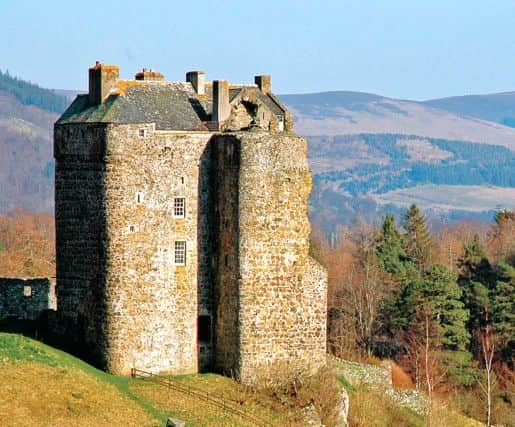
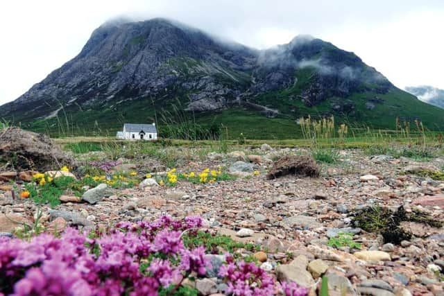
Ordnance Survey contest to find photos for maps


But even the most experienced adventurer will not set foot outside their door without a trusted Ordnance Survey map – it could mean the difference between life and death.
Now a new national competition is giving amateur photographers the opportunity to see their most inspiring images featured on the covers of the ubiquitous maps.
Advertisement
Hide AdAdvertisement
Hide AdAnd Scotland on Sunday has been given the important job of selecting the most eye-catching photographs from hundreds of entries to appear on all 84 Scottish maps in the OS Landranger series, a firm favourite with outdoors enthusiasts north of the Border.
The British map-making institution’s Photofit contest has attracted more than 15,000 entries from budding snappers across the UK as part of a scheme to update all 607 of its paper maps in the Explorer, Tour and Landranger series, which will for the first time come with a digital download capable of recording the user’s route.
Choosing just one view for each map is not going to be an easy task. But choose we must – and the winners will be unveiled in next week’s Scotland on Sunday.
“The OS Photofit competition has exceeded expectations,” said OS marketing director Nick Giles.
“The quality of the photographs submitted for Scotland has been amazing.
“The photographers have really captured the beauty and adventure of Scotland and I am confident that the new map covers will inspire people to discover new places.”
OS, a government-owned company since April this year, was established in 1791. But credit for the idea of the first national survey goes to Scotsman William Roy.
Carluke-born Roy was a military engineer, surveyor and antiquarian. He was an innovator who applied the latest scientific discoveries and newly emerging technologies to the accurate geodetic mapping of the UK.
Advertisement
Hide AdAdvertisement
Hide AdHis biggest achievement was a survey of Scotland, which was prompted by King George II’s desire to control rebellious Scottish clansmen after the failure of the 1745 Jacobite uprising.
Paper maps are still important to OS but today account for just five per cent of revenue. It is a digital big data organisation that offers mapping services for businesses and government departments. Part of its role is to maintain a UK-wide mapping database that sees 10,000 changes every day.
“Maps are the guide to the outdoors, the ideal tool for adventure and discovery,” added Giles.
“More and more people are using maps on their tablets and smartphones to navigate, despite some of these digital maps being less than ideal for finding paths and tracks in the countryside.
“OS maps give an unparalleled level of detail and are the definitive guide for any budding or seasoned explorer.”
All entries have been open to a public vote online, with a shortlist going before a judging panel. Winning photographers will have their image and name printed on the map cover. They will also receive a copy of the map featuring their photograph and a year’s subscription to online mapping service OS Maps.
Judges will choose their favourite “winner of winners” at the end of the year, with the successful entrant receiving a family holiday in the UK.
The new maps and mobile downloads will be available from February 2016.