Scotland's weather: Travel disruption warning from new snow alerts


It also covers East Lothian and the eastern Borders.
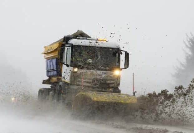
It was already causing disruption by late afternoon, with a broken down lorry blocking the A96 at Keith in Moray in "adverse weather conditions", official information service Traffic Scotland reported.
Roads closed included the A93 between Spittal of Glenshee and Braemar, and the A939 between Cock Bridge and Tomintoul in Aberdeenshire.
Advertisement
Hide AdAdvertisement
Hide AdIn a separate warning, up to a further 6cm of snow has been forecast for Monday.
The latest alerts follow the UK lowest temperature for at least seven years being recorded in Braemar last night, of -15.3C.
At nearby Balmoral, it did not rise above -5.1C all day.
Today's yellow - "be aware" - warning, in force until noon tomorrow, will see "snow showers and icy stretches which may cause some travel disruption", the Met Office warned.
A spokeswoman said: "Snow showers over northern Scotland and eastern England will also start to affect parts of western UK during Friday evening and night.
"Meanwhile, over northern Scotland, showers will merge into longer periods of snow, and here accumulations of 2-5cm are possible, with 5-10cm perhaps falling over higher routes.
"With temperatures also falling below freezing in the late afternoon and evening, there will be some icy stretches, especially on untreated surfaces."
Monday's yellow warning covers the spine of Scotland, including parts of the Central Belt, much of inland southern Scotland, the Central Highlands and Aberdeenshire.
It will be in force from midnight to 2pm.
Drivers could be affected by snow on higher roads such as the A9 north of Pitlochry.
Advertisement
Hide AdAdvertisement
Hide AdThe Met Office spokeswoman said: "A band of rain will readily turn to snow as it pushes east across parts of Scotland and northern England.
"Temporary accumulations of a few centimetres are likely at low levels, with higher ground above about 150m possibly seeing 3-6 cm, locally more.
"Ice will be an additional hazar
"Snow should become lighter and more patchy before dying out by early Monday afternoon."