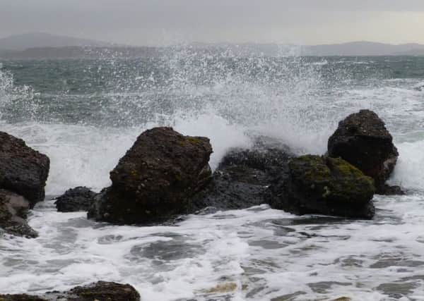
Warning as severe gales expected to hit parts of Scotland


An unusually mild start to the week saw 13C recorded in Aberdeen this morning - far above the 0C that would be normal for the time of year.
The brief respite from winter is thanks to a bulge of high pressure pushing the jet stream further north than usual.
Advertisement
Hide AdAdvertisement
Hide AdHowever this is set to change as the week goes on, with rain, wind and some snow moving in.
“On Monday parts of Scotland will see some early rain pushing in that will sink southwards through the day and behind that rain the system will introduce some colder air,” Ms Salter said.
“When that rain makes its way south it will ease, without the cloud around it’s going to be a cold night.”
Still two weeks from the beginning of meteorological spring on March 1, winter will return as low pressure beats back the warm air.
Potentially severe gales are expected for Orkney and the north coast of Scotland, while gale force gusts could hit exposed areas further south on Tuesday night.
The Met Office said it may issue warnings and encouraged people to check the website.
“The rest of the week will remain unsettled with some gales on Thursday, but turning much colder with snow on high ground,” Ms Salter said.
“By Friday this could possibly come down to lower levels in the north of the UK.”