Snow warnings extended to Friday as temperatures forecast to plummet further
The Met Office said “persistent bands of snow showers” would continue in parts of eastern Scotland as part of its latest yellow warning, from Thursday to noon on Friday.
That will follow the yellow warning currently in force for “prolonged spell of snow” continuing until Wednesday night in parts of the eastern half of Scotland, the Glasgow area and the Northern Isles.
Advertisement
Hide AdAdvertisement
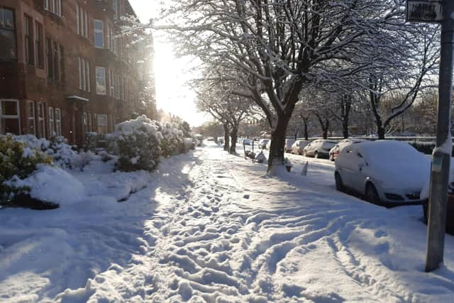
Hide AdA more serious, amber warning for snow was in force until 9pm on Tuesday, which was extended south east from the Dundee, Perth and Stirling areas to include Edinburgh and as far as the Border, with “large accumulations” predicted of up to 25cm.


Channel 4 News weather presenter Liam Dutton tweeted on Tuesday: “The temperature dropped to -16.7C in Altnaharra in the north of Scotland last night, making it the coldest night in the UK since December 2010.
“A temperature similar or even a bit lower is expected tonight.”
Temperatures are expected to fall as far as -9C in Inverness and Perth, -7C in Stirling, -6C in Edinburgh, Glasgow and Dundee, and -5C in Aberdeen by Wednesday night.
Dozens of schools were closed on Tuesday including all those in Orkney and more than 40 in Aberdeenshire.


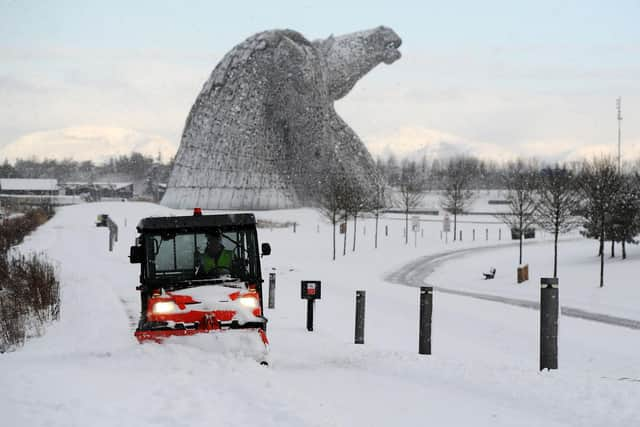
Gritters and snowploughs battled to keep major routes open, but those closed for a time included the A90 near Stonehaven and the Tay Road Bridge southbound.
A crash in heavy snow blocked the A68 at Fala in Midlothian.
Roads still blocked include the A939 Cockbridge-Tomintoul in the north east, which has been closed for nearly two weeks.
Advertisement
Hide AdAdvertisement
Hide AdThe A93 between Braemar and Glenshee has been shut for a week.
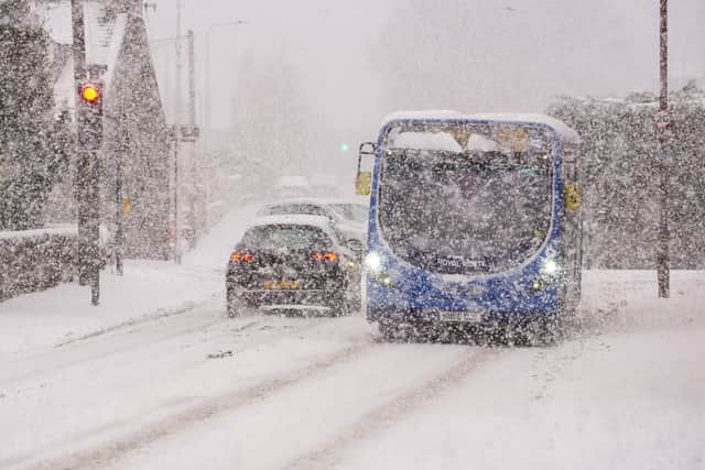
In Dundee, the city’s main operator Xplore suspended all services for more than four hours on Tuesday morning.
ScotRail reported delays caused by the weather on many lines across Scotland.
It said staff had been delayed getting to work because of poor road conditions and reported “major disruption” on most of its Central Belt routes to/from Glasgow Central and Queen Street, and Edinburgh Waverley.


Meantime, work by Network Rail Scotland to clear two “significant” landslips between Ardrossan and Largs last Friday is now expected to take until the end of Wednesday.
The Met Office’s alerts include “persistent bands of showers” in some areas until the end of Wednesday with up to 15cm in places.
Its spokesperson said: “Some icy stretches are possible overnight, mainly where melting snow during the afternoon has not a chance to dry out before freezing overnight, although snow is likely to be more prevalent.”
The agency said its further warning, for Thursday and Friday, would involve further snow showers across northern and eastern Scotland.
Advertisement
Hide AdAdvertisement
Hide AdIt said: “Whilst these are not expected to be as heavy or widespread as earlier in the week, some persistent bands of snow showers may develop in places.
" Accumulations of 1-3cm are likely, with 5-8cm possible where more persistent bands of snow develop.
"Icy stretches are possible overnight where surfaces are left wet from the partial melt of lying snow during the daytime.”
A message from the Editor:
Thank you for reading this article. We're more reliant on your support than ever as the shift in consumer habits brought about by coronavirus impacts our advertisers.
If you haven't already, please consider supporting our trusted, fact-checked journalism by taking out a digital subscription.
Comments
Want to join the conversation? Please or to comment on this article.
