Scotland's weather: Police warn drivers to be cautious
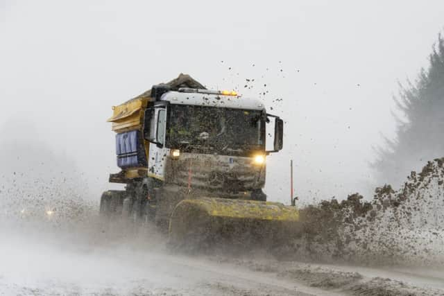
Police have warned drivers across Scotland to travel with caution.
Superintendent Louise Blakelock, deputy head of road policing, said: “We are expecting snowy conditions over the next couple of days, especially on the higher level routes.
Advertisement
Hide AdAdvertisement
Hide Ad“I would urge drivers to plan accordingly, check the conditions ahead and make sure they are prepared for all eventualities.

“Many people will be returning to work after the Easter break and conditions may be challenging on some routes not only due to snow but also surface water and spray as the snow melts. No-one should ever place themselves at risk on the roads and there are alternative arrangements you can make such as delaying travel until conditions improve or using public transport.”
After the warning for snow on Easter Monday became active, the meteorologists announced that while the snow could move Eastward throughout the day, the yellow warning for snow would remain in place until Wednesday.
Higher ground in particular will be impacted by snow, with Central, Tayside & Fife, Grampian, Highlands, Strathclyde and South-West Scotland, Lothian & Borders are among the areas that will be affected.
The North of the country will be hit by the most persistent snow until the yellow warning officially ends on Wednesday afternoon.
A Met Office statement said: “Snow will be more persistent over higher ground with 5-10 cm above 200 m and a chance of locally 15 cm across the highest routes.

“There is also the possibility of a few slushy cm gathering locally at low levels, but away from the immediate coast.
“As milder air moves northwards through the morning, snow across the south of the warning area and the Central Belt will become confined to hills, and slowly turn to rain again even on high ground here by late morning.
“Further north, sleet and snow will ease for a time during the afternoon, with some melting of lying snow on roads below 300 metres, but further heavier snow is likely during Tuesday evening.”