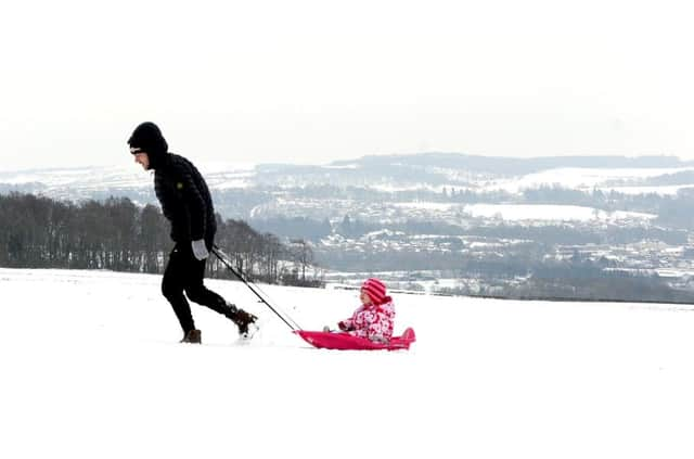
Scotland's weather: Gradual thaw ahead but ice threat remains


Chief meteorologist Dan Suri said: “Scotland will remain under the influence of the cold easterly airflow with further outbreaks of snow possible, although this is expected to be lighter than in recent days.”
The record March low of -4.6C at Cassley in Sutherland in 2001 was broken by -4.7C at Tredegar in Wales on Thursday.
Advertisement
Hide AdAdvertisement
Hide AdToday: More snow showers across northern and eastern Scotland, but mainly dry in the east and the Western Isles with the odd glimmer of sunshine. Turning wetter in the west during the afternoon with rain, sleet and snow showers arriving. It will be breezy with the winds coming off the North Sea making it feel colder.
There is a yellow warning for snow and ice that spans today and tomorrow, allowing for 5-10cm on fresh snow. Max: 5C, Min: -2C
Tomorrow: Snow showers will continue across the east but it should be drier again in the west, albeit cloudy. Winds should be a little lighter. Max: 5C, Min:-2C
Tuesday: Another spell of rain will move north during the day, falling as snow inland but probably staying as rain/sleet near the coast.
The Northern Isles will stay dry by the looks of things. There are currently no warnings in place but with very similar temperatures to Sunday and Monday there is likely to be more snow and ice around. Max: 5C, Min: -3C.