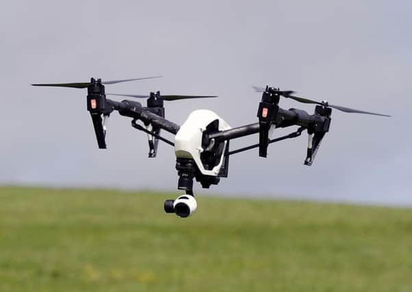
Moray Council to trial use of drones to survey planning sites


Unmanned aerial vehicles (UAVs) will now be used to scope out land earmarked for development in the Moray area.
The local authority’s planning and regulatory services committee has decided to trial the technology after backing the plans at a meeting this week.
Advertisement
Hide AdAdvertisement
Hide AdCommittee members believe it will save councillors the time normally taken to travel to sites and tour the land.
And footage from drones could be more accurate than ordnance survey aerial photography maps currently attached to planning applications.
Committee member Douglas Ross, who backed the plans, said: “Using drones can be beneficial, they can save money and time. We should take a commonsense approach in looking at individual cases, but this idea will bring us into the 21st century.”
During the meeting, members were shown footage of a site designated for development outside Elgin which had been captured by a drone.
The committee was guided through the images, which were overlaid with computer graphics outlining site boundaries.
Councillors heard that it would cost £550 for each drone visit.
This compared to the cost of a bus for councillors which cost an average of £110 for a 55-mile round trip.
Committee chairman Chris Tuke voted against the move.
Advertisement
Hide AdAdvertisement
Hide AdHe admitted drone footage could be useful for councillors considering applications for developments on large open land rather than urban areas.
But he said he did not see “any major great advantage”: “I don’t personally see there’s any great benefit because it gives a view that is not natural to a normal observer.
“There’s no substitute for seeing on the ground, particularly in urban settings, but there’s one instance given we went on a wind farm visit which was a long tour all around and very much all we saw was mist.
“The wide open spaces could be covered better by aerial photography and it is quicker than going round the land, particularly in upland areas. It is looking more expensive in financial terms but in time terms it can save a lot of time.”