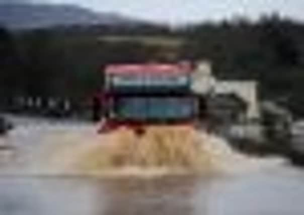
Batten down hatches for more storms, Scots warned


The Scottish Government has urged people to be vigilant as the storm conditions make driving dangerous and cause widespread flooding.
Much of central, west and southern Scotland has been severely affected this week, and the latest forecast from the Met Office predicted more downfalls last night and throughout today.
Advertisement
Hide AdAdvertisement
Hide AdThe Scottish Environment Protection Agency (Sepa) has issued 11 flood warnings across parts of central Scotland, Dumfries and Galloway, Tayside and the Borders, with a further 14 areas on flood alert.
The Met Office issued severe weather warnings for heavy rain in the Highlands, Strathclyde, Central, Tayside, Fife and the Lothian and Borders areas – as well as warnings of high winds in Orkney and Shetland and the Grampian area.
Keith Brown, transport minister, said that although the weather improved yesterday there was “more heavy rain on the horizon and absolutely no room for complacency”. He advised people to check the latest travel advice before making journeys.
Stewart Prodger from Sepa’s flood unit highlighted that the already-saturated ground could increase the likelihood of flooding.
“Many river catchments in central and southern Scotland have seen significant rainfall in the past week, leading to saturated ground conditions and high river and loch levels,” he said.
“Sepa’s monitoring indicates that some of these are likely to rise in response to the forecast rain on Wednesday evening into Thursday, with some moderate levels of disruption expected in these areas.”
The Met Office forecast another band of rain to cross Scotland last night from the west. It was likely to be heavy over Dumfries and Galloway, Argyll and central and western Tayside.
Once this system has passed, Scotland should see a return to more showery conditions.
Advertisement
Hide AdAdvertisement
Hide AdMany river catchments in central and southern Scotland have seen significant rainfall over the past week, leading to saturated ground conditions and high river and loch levels.
Sepa’s monitoring indicates that the River Earn in Tayside, River Forth and tributaries in Central, River Tweed in the Scottish Borders, River Nith in Dumfries and Galloway, and Loch Lomond remain high and are likely to rise further.
In these areas, some disruption is expected.
On Tuesday, heavy rain saw rivers and burns burst their banks in the west of Scotland, central belt and Borders areas.
Roads were closed and train and bus services cancelled as the rain fell.
Some people were rescued from their cars, and others were stuck in their houses because of the rising water.
Between 20mm and 47mm of rain fell across Scotland in the 24 hours to 6am yesterday.
Tyndrum in Stirlingshire was the wettest place, with 47mm of rain, while Glasgow had 38mm.
Sepa’s website contains advice about how to protect homes and property from flooding – from using barriers and sandbags to making sure cars are away from at-risk areas.
Sepa’s Floodline warning service, on 0845 988 1188, provides the latest flooding predictions.