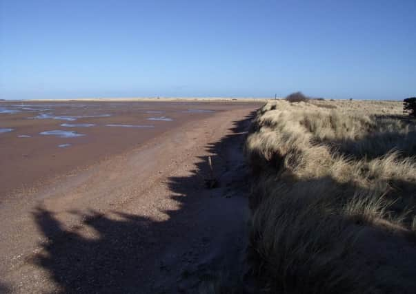
Walk of the week: Tyne Estuary, East Lothain


The John Muir Country Park outside Dunbar is a tribute to one of the greatest conservationists and also serves as a gateway to exploring the coast and land of the area. The Tyne estuary is rich in birdlife, as are the fields just inland.
DISTANCE 5 miles.
HEIGHT CLIMBED 50ft.
TIME 2 1/2 to 3 hours.
MAP OS Landranger 67.
PARK Turn off the A1 at the Thistly Cross roundabout and follow signs for Dunbar. About a mile from the roundabout turn off the A1087 just before the 30mph sign for West Barns, following a brown sign for John Muir Country Park. At a junction in front of East Links Family Park go right to reach a car park for the country park.
Advertisement
Hide AdAdvertisement
Hide AdIN SUMMARY In the top right-hand corner of the car park, next to the exit, go through a gap in a fence to reach a track. On the other side of the track follow a sign “to the beach” down a grassy path. After about 30 yards go straight ahead at a fork, on to a sandy path. This crosses a salt marsh via a series of low wooden bridges to reach a beach, where you go left.
Follow the beach all the way along a series of dunes to the left and at the end follow the dunes round to the left to reach the estuary of the River Tyne. Continue by the estuary shore until you reach the far end of the salt marsh crossed earlier. Cross over again, taking care if the tide is high. On the other side aim for a wood of pine trees. After crossing low dunes go right to follow a path just inside the trees, running parallel to the Tyne estuary. Don’t go left down a long, straight clearing but do bear left a little further on. Continue close to the estuary shore, ignoring turnings to the left, all the way to a wooden bridge and a signpost for the John Muir Way.
A left turn here leads back to the start, but for this route go right and cross a footbridge over the Hedderwick Burn. At a fork go right, following a John Muir Way marker post, to stay by the estuary. Just before another wooden footbridge go left, inland, on a grass track which shortly reaches a wider track, where you should go right.
The track turns left and reaches a signpost. Go straight on – ignoring tracks to the left and right – along a path through a belt of trees between fields. The path emerges at a field gate (on the right) near an outdoor activities centre. Don’t go through the gate but keep on, up a track through trees, turning left at the top.
The track leads to some converted stables with a red door. Go to the left of the building then drop down a track on the left. Carry on to follow the right-hand edge of a field, ignoring a track on the right. The main track leads behind a belt of pine trees, at which point you should take a sandy path on the right. This leads to a wooden footbridge passed earlier.
Go straight ahead at a John Muir Way signpost to follow a path with fields to the right and woodland to the left. The path then leads behind East Links Family Park. At the end of the path are the dunes in front of the salt marsh. Go right to follow a track back to the car park.
REFRESH East Links Family Park (www.eastlinks.co.uk) has a café which walkers can use without paying for entry to the park. Otherwise, try Dunbar.
WHILE YOU ARE IN THE AREA East Links Family Park is the obvious place if you have children. To learn more about John Muir you can visit his birthplace in Dunbar (www.jmbt.org.uk).