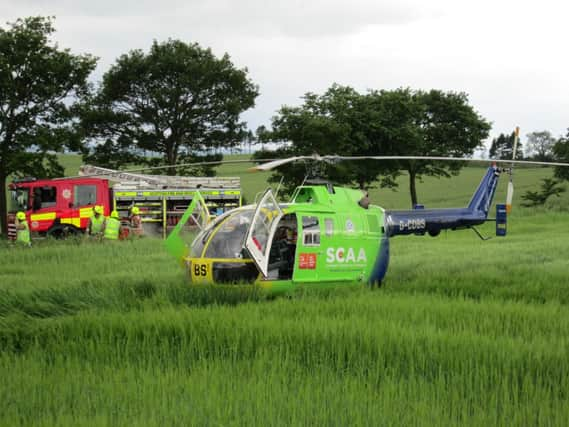
Initiative over emergency services in rural areas


With five minutes sometimes representing the difference between life and death – or the loss of a limb that might otherwise have been saved – farmers are being asked to plan ahead and spend that amount of time working out grid references for local landmarks and noting them down someplace accessible so that they can be used instantly should trouble occur.
The initiative was launched yesterday by the National Farmers Union of Scotland and Scotland’s Charity Air Ambulance (SCAA), working alongside the Scottish Ambulance Service. It is likely to be extended to other parts of the rural community shortly.
Advertisement
Hide AdAdvertisement
Hide AdThe union said that statistics regularly highlighted the fact that those employed in the rural and agricultural industries across Scotland faced the greatest danger of accident or mishap of all professions. “And when the worst happens in remote and isolated areas, getting help quickly to the right location is of paramount importance,” said the NFUS regional co-ordinator, Lisa Roberts.
“By carrying a pocket-sized card detailing the grid reference of key landmarks around their land, which are clearly visible to emergency responders, anyone involved in an accident can pass on an accurate location to emergency services, allowing help to find them easily.”
She said that the reference point cards – detailing unique landmarks such as lochs, prominent hills, masts, water features, churches, bridges or road junctions – can be copied and kept in multiple locations by everyone on the farm, including on the farm vehicles, in workers’ pockets or pasted to the back of their mobile phones.
Gavin Davey, the chief executive of SCAA, said that it was a simple job to guide the emergency services in once these landmarks had been identified. However, he stressed that although the grid references weren’t difficult to work out, taking the time to write them down outwith an emergency situation was important.
He said that farmers could work out the reference points of landmarks the old-fashioned way by looking at Ordnance Survey maps – or could make use of internet applications or mobile apps, which did the work for them:
“The important thing is that these grid references are written down and kept someplace which is readily accessible.”
He said that farmers across the country had been very supportive of SCAA since it was launched last year and that the organisation was grateful for the help given in fundraising events.
He added that the grid reference idea had actually been raised at a fundraising vintage tractor rally.
Advertisement
Hide AdAdvertisement
Hide AdBut the initiative will also help other emergency services and Pauline Howie, the chief executive of the Scottish Ambulance Service, also welcomed the move. “Our air and road ambulance teams respond to 999 calls for assistance on farms across Scotland.
“While they are supported by sophisticated mapping and GPS systems, any additional information from the scene that highlights local landmarks will help crews locate patients as quickly as possible.”