Stirling firm deploying latest mapping tech to tackle Cambodian disasters


ThinkWhere said it has developed, on behalf of a partnership between the United Nations World Food Programme and Czech-based humanitarian organisation People in Need, the disaster management information system for the south-east Asian country’s government.
The Scottish firm said its system provides an online mapping visualisation tool to help co-ordinate information for disaster preparedness and response. It will provide a better solution for displaying aerial imagery as well as historical and live disaster information and will show weather alerts, information on vulnerable populations and infrastructure, as well as real time information from field staff.
Advertisement
Hide AdAdvertisement
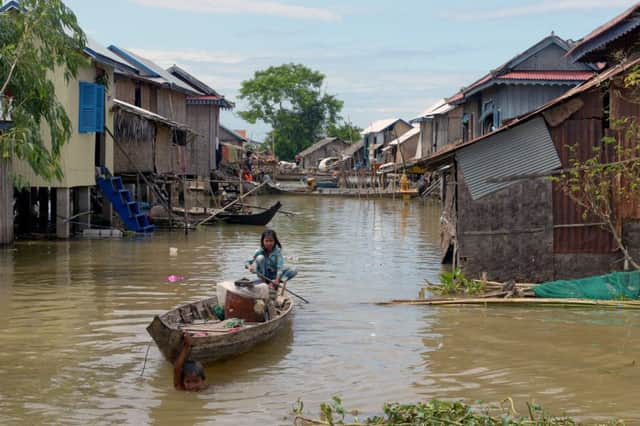
Hide AdThinkWhere also noted that Cambodia remains one of the poorest countries in the region, with about 30 per cent of its population living below the national poverty line. It has also been ranked the ninth most disaster prone country in the world, facing recurrent floods, droughts and tropical storms.
James Happell, global innovations manager, People in Need, Cambodia, said: “There are a lot of tools, platforms, maps and monitoring devices, which have been developed over the years in Cambodia for weather monitoring and collation of data on disaster response. We worked closely with ThinkWhere from design through to planning and deployment, and we were more than impressed with the communication, flexibility and dedication throughout the project.”
ThinkWhere said it has developed an easy to deploy and administer cloud platform. “Using open source tools and technologies ensures the system can be easily integrated with third-party systems and data and has an easy to use interface,” it said. It offers a mapping service it says can be accessed anywhere, anytime using a simple web browser.
The firm also says it works with a wide range of organisations across the public and private sectors, including central and local government, higher education, social housing, health, land and property, environmental, energy, civil engineering and retail as well as humanitarian support.
In January, it said it was targeting global expansion with the launch of a web-based system to provide easy access to digital maps and data.