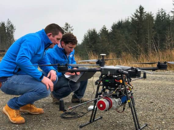
Edinburgh's Ecometrica hits new heights with forest drone mapping


The Edinburgh-based firm said it was helping to map the species growing under the upper canopy of the trees thanks to advanced laser technology.
Sarah Middlemiss, space programme manager at Ecometrica, said: "This is a great opportunity to address some of the challenges facing our own environment, with innovative technologies.
Advertisement
Hide AdAdvertisement
Hide Ad"A number of native plant species are facing a growing threat from land use change, development and climate change and this initiative will help identify, for example, the spread and impact of invasive rhododendron in key areas of Scotland."
The data collection is organised through the Scottish Earth Observation Service operated by Ecometrica in partnership with funding partners Forestry Commission Scotland, Scottish Orienteering, Woodland Trust and the University of Edinburgh.