Walk of the Week: Mullach Clach A’Bhlair


After 1715, General Wade planned to build a road from Ruthven Barracks through Glen Feshie to Braemar, but the high estimated costs militated against such work. Then in the 1960s plans for a link road between the A9 and A93 were mooted, but luckily that too came to nothing.
The high moorland on the east side of Glen Feshie once held five Munros, however with limited re-ascent, 54m, 40m and 32m respectively, the justified 1981 demotions bade farewell to the Famous Feshie Five, then the easiest in the country. Sgor Gaoith and Mullach Clach a’Bhlair quite rightly retained their Munro status, though leaving the latter more isolated yet somehow enhanced.
Advertisement
Hide AdOriginally mapped and tabled as Meall Tionail, by the time of the one-inch second edition maps of 1898-1904 that name had changed to Mullach Clach a’Bhlair.
Mullachs tend to be dull summits overlooking more interesting features, in this case the rough and narrow Coire Garbhlach, a long and twisting glen gouged out of the moorland. This offers a spectacular route following the oft in spate Allt Garbhlach. A drier but less attractive variation is by the south rim of the corrie, traversing Meall nan Sleac. However, we were there on a wet day and, in any case, had that path and “bridge” to examine.
The route
From Feshiebridge, go south to the parking area, map ref 852985, half a mile before the road-end at Auchlean, then by road and path to the ford across the Allt Fhearnagan. Follow the edge of the wood with the new/improved path making for easy walking. Soon reach a junction. One path slants to the right leading to a bridge over the Feshie, but carry straight, gently rising to higher ground. A stepped path leads to a ford across the Allt Garbhlach, where we had no problem despite recent rain.
The path crosses the lovely Coille an Torr pinewood, diagonally traverses a broad track, then continues on its lovely winding way. Later join another track that eventually leads to the river and a ford used by estate vehicles. Continue to the site of the long-tilting-downstream nostalgic footbridge at Carnachuin which finally succumbed to the in-spate Feshie in September 2009. By the remnants of the bridge are stacks of new wood implying that a new bridge may be built, but who knows when.
At this stage, given the adverse weather, we opted for the easy track rather than the stalkers’ path from Ruigh-aiteachain that climbs towards Druim nam Bo. Making light of the 650m ascent to the plateau, the track climbs steadily on the north side of the Allt Coire Chaoil, latterly curving above Coire Garbhlach. Once on high, follow the intrusive track southwards, then by the worn Munro path for the slight ascent to the rounded summit.
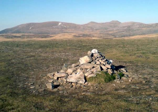
It took us three hours, but then we did not have to spend time looking for the small, albeit bigger-than-used-to-be cairn. Jimbo had been there on a dreadful winter’s day of wind, clag and deep snow that covered much of the track. Nearing the top he wisely decided to return. Others persevered but even with the help of a despised-by-me GPS they failed to find the presumably snow-covered cairn.
Advertisement
Hide AdMap Ordnance Survey map 35, Kingussie & Monadhliaths, or 43, Braemar & Blair Atholl
Distance 13 miles
Height 700m
Terrain Road, path and track to grassy plateau
Start point Glen Feshie car park, map ref 852985
Time 6 hours
Nearest towns Aviemore and Kingussie
Refreshment spot The Boathouse Restaurant, Loch Insh, Kincraig